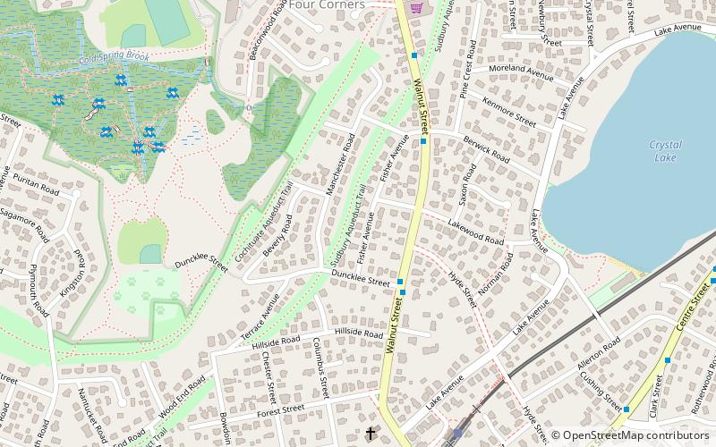
Cochituate Aqueduct, Newton
Map

Map

Facts and practical information
The Cochituate Aqueduct was an aqueduct in Massachusetts that brought water to Boston from 1848 to 1951. ()
Coordinates: 42°19'34"N, 71°12'28"W
Address
Newton (Newton Highlands)Newton
ContactAdd
Social media
Add
Day trips
Cochituate Aqueduct – popular in the area (distance from the attraction)
Nearby attractions include: Piccadilly Square, Newton City Hall and War Memorial, Newton Free Library, Crystal Lake.
Frequently Asked Questions (FAQ)
Which popular attractions are close to Cochituate Aqueduct?
Nearby attractions include Peabody-Williams House, Newton (4 min walk), House at 1008 Beacon Street, Newton (9 min walk), Crystal Lake, Newton (10 min walk), Crystal Lake and Pleasant Street Historic District, Newton (11 min walk).
How to get to Cochituate Aqueduct by public transport?
The nearest stations to Cochituate Aqueduct:
Light rail
Bus
Light rail
- Newton Highlands • Lines: D (8 min walk)
- Eliot • Lines: D (18 min walk)
Bus
- 791 Walnut St • Lines: 59 (13 min walk)
- Walnut St @ Prospect St • Lines: 59 (27 min walk)


