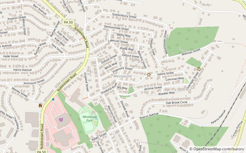
Westwood, Pittsburgh
Facts and practical information
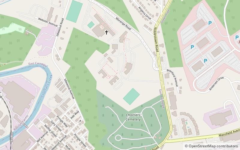
Westwood is a neighborhood in the West End Region of Pittsburgh, Pennsylvania. Beginning as a part of the now-defunct Township of Chartiers and existing for a short time as an independent borough, Westwood was annexed by the City of Pittsburgh in three pieces: the eastern third in 1872, and the remaining sectors progressing west in 1921 and 1927. Westwood is a quiet residential community inhabited by a large variety of residents, and exhibits an eclectic mix of architectural styles that span many periods. Among these is the John Frew House, one of the oldest surviving structures west of the Allegheny Mountains, which dates to 1790. Westwood also contains a public primary school bearing the community's name, as well as a public swimming pool, a playground, and ballfields. The neighborhood's main thoroughfare is Noblestown Road, and Noble Manor is its major commercial district. It has a zip codes of both 15205 and 15220, and has representation on Pittsburgh City Council by the council member for District 2. The Pittsburgh Bureau of Fire houses 29 Engine in Westwood. ()
West End (Westwood)Pittsburgh
- Bus
 Bus
Bus
- Calculate routeCrafton 27 min walk
- Calculate routeIngram 31 min walk
- Calculate routeFingal St at Rutledge St 32 min walk


Frequently Asked Questions (FAQ)
Which popular attractions are close to Westwood?
How to get to Westwood by public transport?
Bus
- Crafton (27 min walk)
- Ingram (31 min walk)