Crafton Heights, Pittsburgh
Map
Facts and practical information
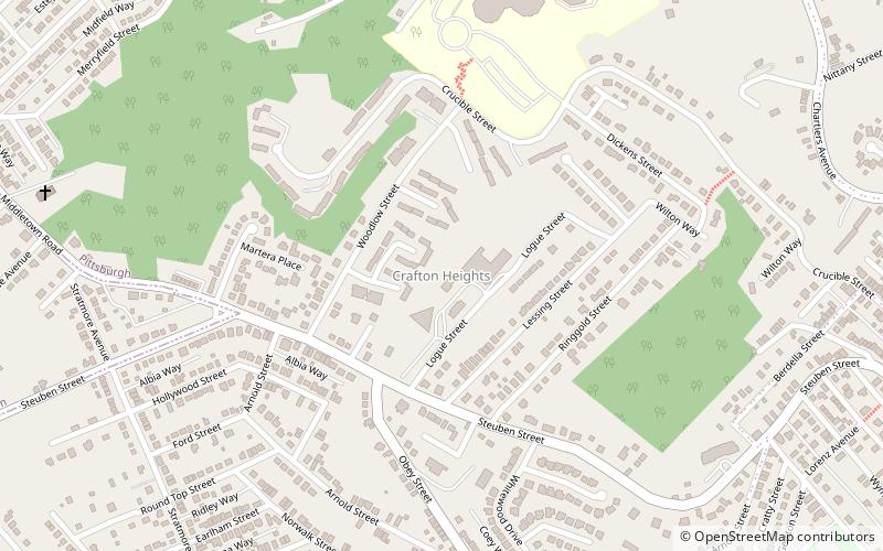
Crafton Heights is a neighborhood in the West End of Pittsburgh, Pennsylvania. Its name is derived from the neighboring borough, Crafton Borough, and the majority of today's community was annexed to the City of Pittsburgh in 1921. Crafton Heights is located west of downtown Pittsburgh, and is surrounded by Elliot, Sheraden, and Westwood. ()
Area: 0.75 mi²Coordinates: 40°26'40"N, 80°3'5"W
Address
West End (Crafton Heights)Pittsburgh
ContactAdd
Social media
Add
Getting there by public transportation
Public transportation stops near this location
- Bus
 Bus
Bus
- Calculate routeSheraden 15 min walk
- Calculate routeIngram 20 min walk
- Calculate routeCrafton 27 min walk
Day trips


Frequently Asked Questions (FAQ)
Which popular attractions are close to Crafton Heights?
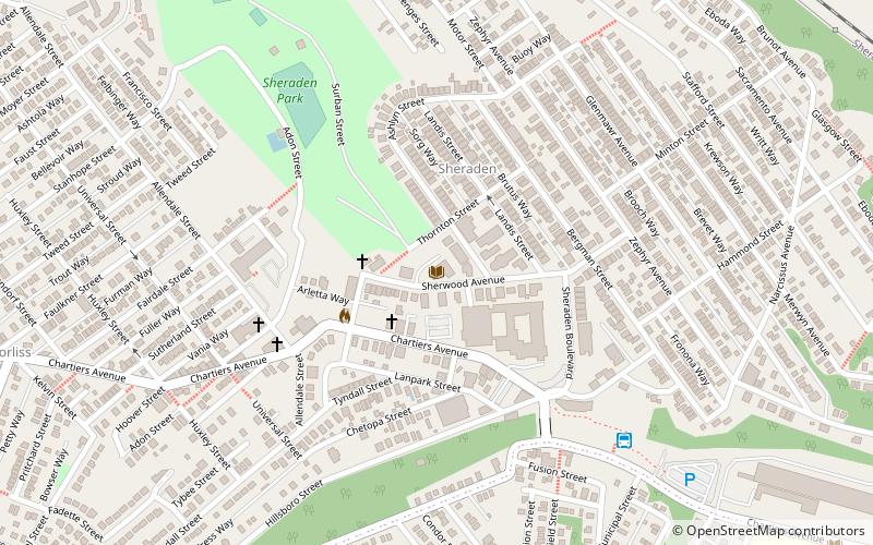
Nearby attractions include Elliott, Pittsburgh (16 min walk), Cork Run Tunnel, Pittsburgh (17 min walk), Corliss Tunnel, Pittsburgh (20 min walk), Sheraden Homestead, Pittsburgh (21 min walk).
How to get to Crafton Heights by public transport?
The nearest stations to Crafton Heights:
Bus
Bus
- Sheraden (15 min walk)
- Ingram (20 min walk)