Saint Paul Seminary, Pittsburgh
Map
Facts and practical information
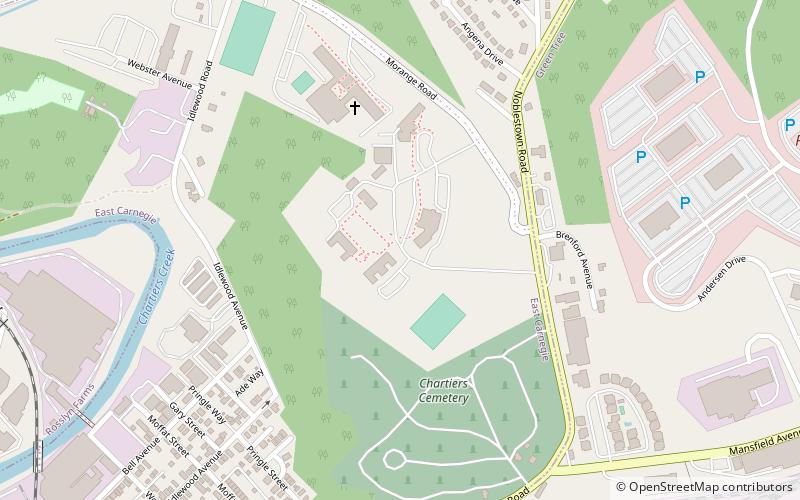
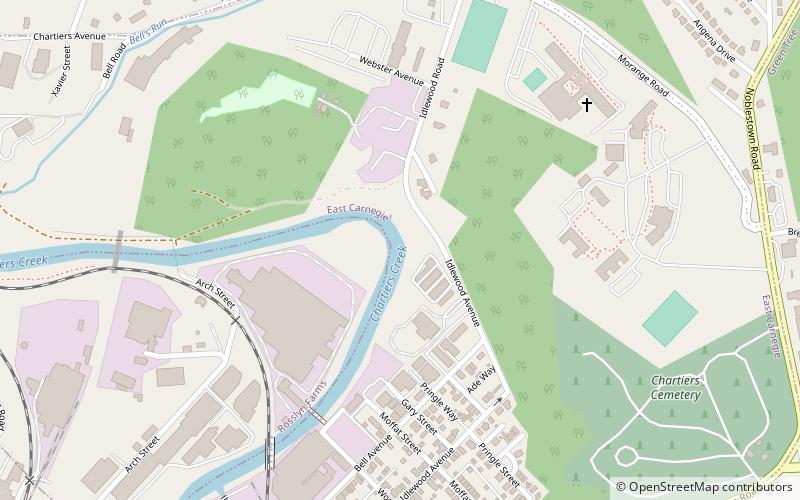
Saint Paul Seminary is the diocesan minor seminary for the Roman Catholic Diocese of Pittsburgh. It is located in East Carnegie, a neighborhood of Pittsburgh, Pennsylvania. The seminary is not a degree-granting institution; seminarians in their collegiate or pre-theological studies attend classes at Franciscan University of Steubenville. ()
Coordinates: 40°25'13"N, 80°4'11"W
Address
West End (East Carnegie)Pittsburgh
ContactAdd
Social media
Add
Getting there by public transportation
Public transportation stops near this location
- Bus
 Bus
Bus
- Calculate routeIdlewood 12 min walk
- Calculate routeBell 20 min walk
- Calculate routeCrafton 28 min walk
- Calculate routeCarnegie 37 min walk
Day trips


Frequently Asked Questions (FAQ)
Which popular attractions are close to Saint Paul Seminary?
Nearby attractions include East Carnegie, Pittsburgh (7 min walk), Oakwood, Pittsburgh (12 min walk), John Frew House, Pittsburgh (22 min walk).
How to get to Saint Paul Seminary by public transport?
The nearest stations to Saint Paul Seminary:
Bus
Bus
- Idlewood (12 min walk)
- Bell (20 min walk)