Alta Loma, Rancho Cucamonga
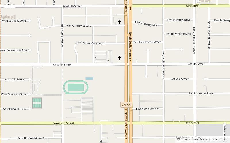
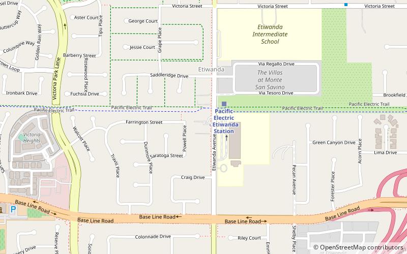
Map
Gallery
Facts and practical information
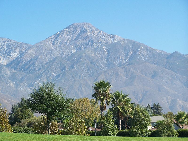
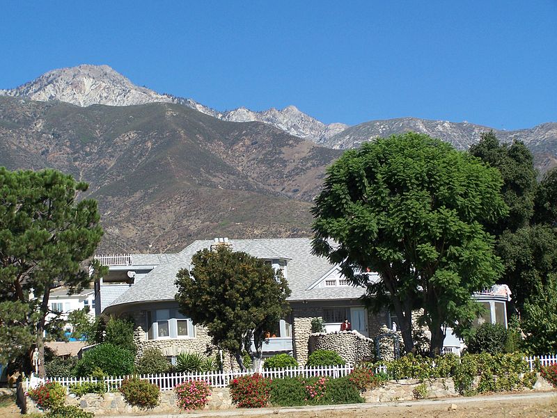
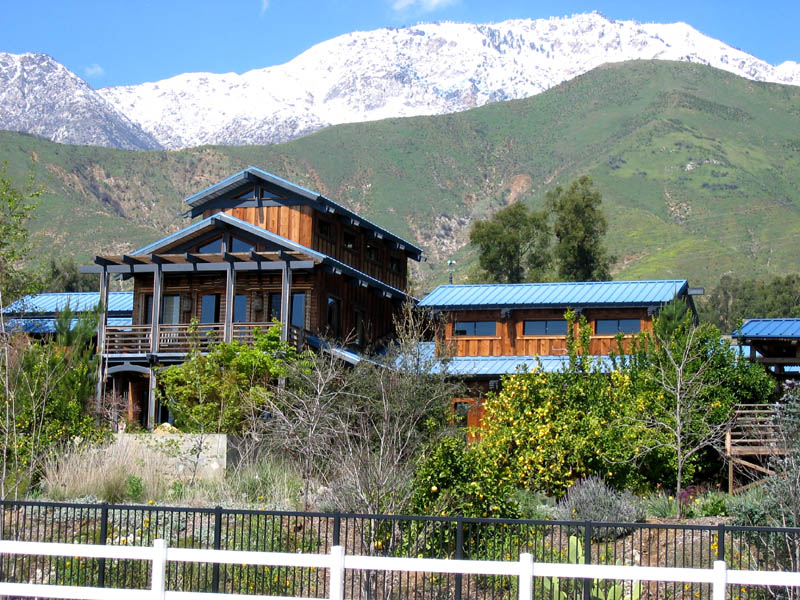
Alta Loma is one of three unincorporated areas that became part of the city of Rancho Cucamonga, California, United States in 1977. The community is located at 34.15°N 117.60°W / 34.15; -117.60 in the foothills of the south face of the San Gabriel Mountain range, near Cucamonga Peak and Mount San Antonio. Its ZIP codes are 91701 and 91737. Elevation ranges from 1,400 feet to 3,000 feet. The name comes from the Spanish words for "high hill." Alta Loma had previously been known as "Iamosa". ()
Coordinates: 34°9'0"N, 117°35'60"W
Address
Rancho Cucamonga (Alta Loma)Rancho Cucamonga
ContactAdd
Social media
Add
Day trips
Alta Loma – popular in the area (distance from the attraction)
Nearby attractions include: LoanMart Field, Ontario Mills, Toyota Arena, Victoria Gardens.


