Little Neck Parkway, New York City

Gallery (1)
Map
Map
Facts and practical information
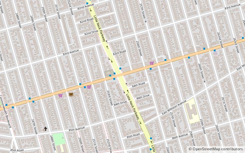
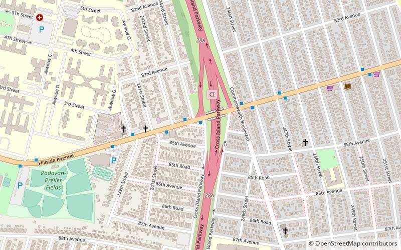
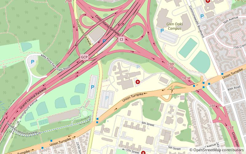
Little Neck Parkway is the easternmost major north/south route in northern Queens, New York City. North of Northern Boulevard, the parkway is a local residential street. South of there, it is a two- to four-lane road, which becomes divided south of Grand Central Parkway. South of Hillside Avenue, it widens to six lanes. Its southern terminus is at Jericho Turnpike at the Queens-Nassau border. ()
Coordinates: 40°44'10"N, 73°42'49"W
Address
Northeastern Queens (Floral Park)New York City
ContactAdd
Social media
Add
Getting there by public transportation
Public transportation stops near this location
- Train
 Train
Train
- Calculate routeFloral Park 23 min walk
- Calculate routeBellerose 25 min walk
- Calculate routeElmont 32 min walk
Maps SubwayMaps
 Manhattan Buses
SubwayMapsManhattan BusesDay trips


Frequently Asked Questions (FAQ)
Which popular attractions are close to Little Neck Parkway?
Nearby attractions include LoCicero Triangle, New York City (14 min walk), Glen Oaks, New York City (20 min walk), The Living Museum, New York City (23 min walk).
How to get to Little Neck Parkway by public transport?
The nearest stations to Little Neck Parkway:
Train
Train
- Floral Park (23 min walk)
- Bellerose (25 min walk)