TART Trail, Traverse City
Map
Facts and practical information
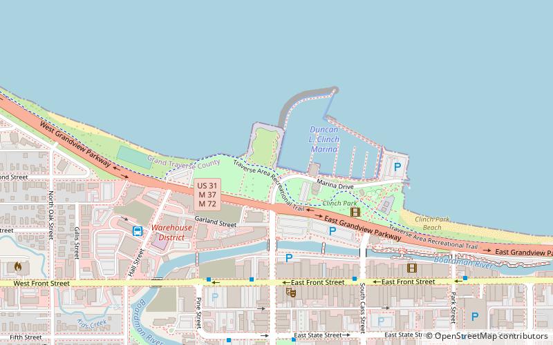
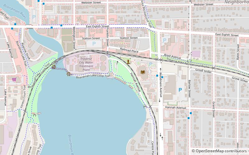
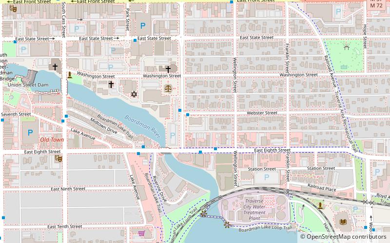
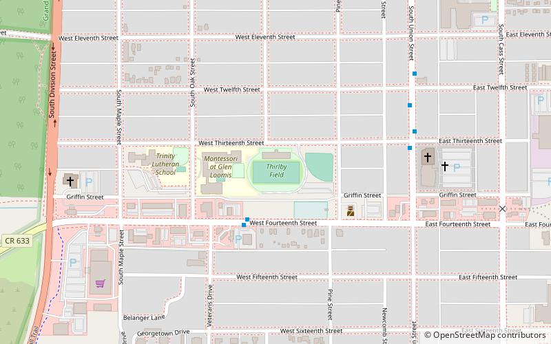
The Traverse Area Recreational Trail is a rail trail in Michigan and is part of U.S. Bicycle Route 35. It is a paved, non-motorized recreational trail of 10.5-mile in length that extends from the west side of Traverse City to Acme. Most, but not all, of the trail follows the 19th-century roadbed of the former Chicago and West Michigan Railway. ()
Established: 1991 (35 years ago)Coordinates: 44°45'59"N, 85°37'25"W
Getting there by public transportation
Public transportation stops near this location
- Bus
 Bus
Bus
- Calculate routeFront Street @ Record-Eagle 5 min walk
- Calculate routeFront Street @ Cass Street 6 min walk
- Calculate routeHall Street Transfer Station 6 min walk
Day trips


Frequently Asked Questions (FAQ)
Which popular attractions are close to TART Trail?
Nearby attractions include City Opera House, Traverse City (5 min walk), South Union Street–Boardman River Bridge, Traverse City (9 min walk), American Legion Memorial Bridge, Traverse City (10 min walk), Traverse City Area Public Schools, Traverse City (16 min walk).
How to get to TART Trail by public transport?
The nearest stations to TART Trail:
Bus
Bus
- Front Street @ Record-Eagle • Lines: 1, 2 (5 min walk)
- Front Street @ Cass Street • Lines: 2 (6 min walk)