Traverse City Area Public Schools, Traverse City
Map
Facts and practical information
Traverse City Area Public Schools is a public school district based in Traverse City, Michigan, United States. This district includes 10 elementary schools, 2 middle schools, 2 high schools, 1 alternative high school, and 1 Montessori school. The district is headquartered in the Boardman Building, a former elementary school. In 2017, Traverse City Central and West High Schools were named among the most challenging in the country. The district serves as the second-largest employer in the city of Traverse City. As of 2017, TCAPS was the 18th largest school district in Michigan by enrollment. ()
Coordinates: 44°45'37"N, 85°36'55"W
Address
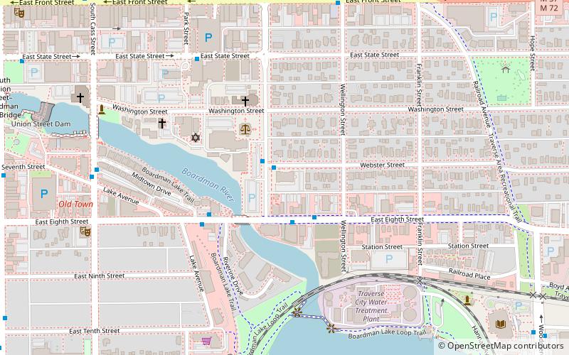
BoardmanTraverse City
ContactAdd
Social media
Add
Getting there by public transportation
Public transportation stops near this location
- Bus
 Bus
Bus
- Calculate routeWellington Street 2 min walk
- Calculate routeLake Avenue 4 min walk
- Calculate routeCass Street & Lake Avenue 8 min walk
- Calculate routeFront Street @ Cass Street 11 min walk
Day trips


Frequently Asked Questions (FAQ)
Which popular attractions are close to Traverse City Area Public Schools?
Nearby attractions include Boardman Neighborhood Historic District, Traverse City (5 min walk), American Legion Memorial Bridge, Traverse City (8 min walk), South Union Street–Boardman River Bridge, Traverse City (11 min walk), The Hollow, Traverse City (12 min walk).
How to get to Traverse City Area Public Schools by public transport?
The nearest stations to Traverse City Area Public Schools:
Bus
Bus
- Wellington Street • Lines: 2 (2 min walk)
- Lake Avenue • Lines: 2 (4 min walk)