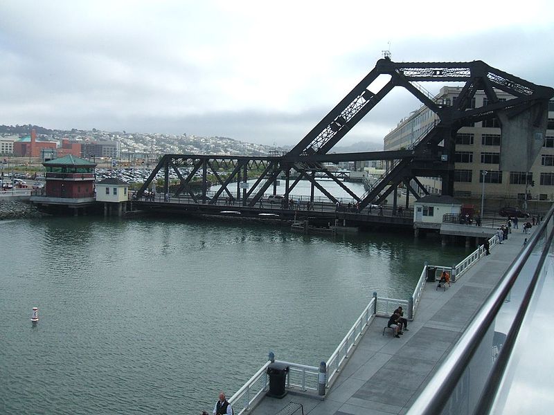
Lefty O'Doul Bridge, San Francisco

Gallery (3)
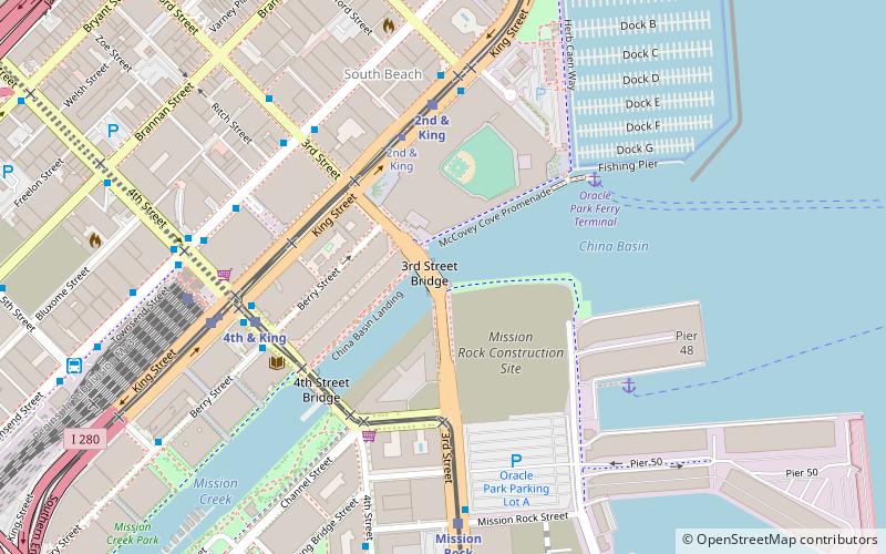
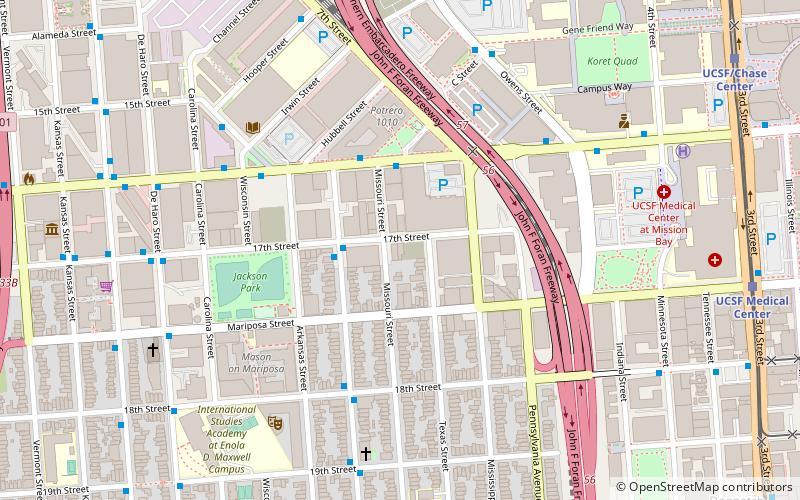
Map
Map
Gallery
Facts and practical information
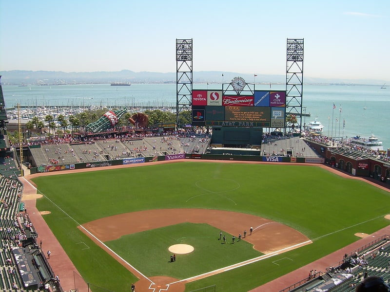
The Lefty O'Doul Bridge is a bascule bridge connecting the China Basin and Mission Bay neighborhoods of San Francisco, carrying Third Street across the Mission Creek Channel. It is located directly adjacent to Oracle Park. ()
Coordinates: 37°46'36"N, 122°23'24"W
Getting there by public transportation
Public transportation stops near this location
- Metro
- Bus
- Trolleybus
- Tram
- Light rail
- Train
 Metro
Metro
- Calculate route2nd & King 5 min walk
- Calculate route4th Street & King Street 6 min walk
- Calculate routeMission Rock 7 min walk
- Calculate routeKing Street & 4th Street 7 min walk
- Calculate route2nd & King 5 min walk
- Calculate route4th Street & Berry Street 5 min walk
- Calculate routeBerry Street & 4th Street 6 min walk
- Calculate routeKing Street & 2nd Street 6 min walk
- Calculate routeTownsend Street & 4th Street 7 min walk
- Calculate route3rd Street & Brannan Street 7 min walk
- Calculate routeMission Bay Boulevard North & 3rd Street 10 min walk
- Calculate routeSan Francisco 4th & King Street 7 min walk
- Calculate routeMarket Street & 3rd Street 27 min walk
- Calculate routeMontgomery Street 28 min walk
- Calculate routePowell Street 28 min walk
- Calculate routeEmbarcadero 31 min walk
Maps Muni Metro
Muni MetroDay trips


Frequently Asked Questions (FAQ)
Which popular attractions are close to Lefty O'Doul Bridge?
Nearby attractions include Lydia, San Francisco (8 min walk), Gallery 16, San Francisco (11 min walk), One Rincon Hill, San Francisco (16 min walk), UCSF Graduate Division, San Francisco (16 min walk).
How to get to Lefty O'Doul Bridge by public transport?
The nearest stations to Lefty O'Doul Bridge:
Light rail
Bus
Trolleybus
Train
Tram
Metro
Light rail
- 2nd & King • Lines: N, S, T (5 min walk)
- 4th Street & King Street • Lines: T (6 min walk)
Bus
- 2nd & King (5 min walk)
- 4th Street & Berry Street • Lines: East, Transbay, West (5 min walk)
Trolleybus
- Townsend Street & 4th Street • Lines: 30, 45 (7 min walk)
- 3rd Street & Brannan Street • Lines: 30, 45 (7 min walk)
Train
- San Francisco 4th & King Street (7 min walk)
Tram
- Market Street & 3rd Street • Lines: F (27 min walk)
Metro
- Montgomery Street • Lines: Blue, Green, Red, Yellow (28 min walk)
- Powell Street • Lines: Blue, Green, Red, Yellow (28 min walk)