West End, Washington D.C.

Facts and practical information
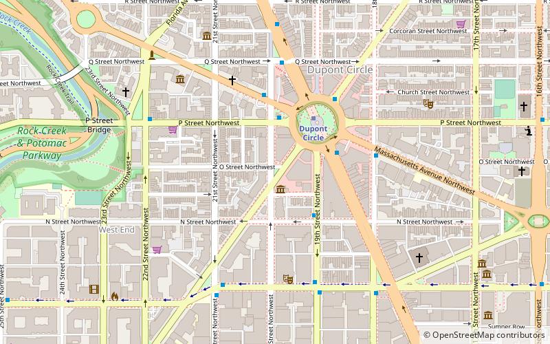
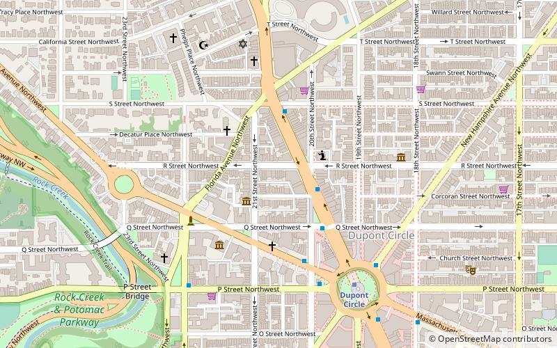
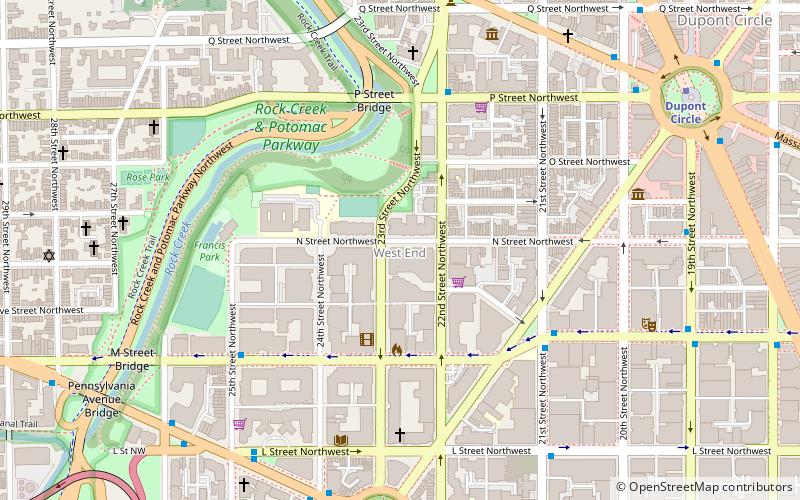
The West End is a neighborhood in the Northwest quadrant of Washington, D.C., bounded by K Street NW to the south, Rock Creek Park to the west and north, and New Hampshire Avenue NW and 23rd Street NW to the east. The West End is so named because it was the westernmost part of the original L'Enfant Plan for the city of Washington, before the annexation of Georgetown. It is home to the embassies of Spain and Qatar as well as the Delegation of the European Union to the United States. The George Washington University and George Washington University Hospital are on the edge of the West End, at Washington Circle. ()
Northwest Washington (Foggy Bottom - GWU - West End)Washington D.C.
West End – popular in the area (distance from the attraction)
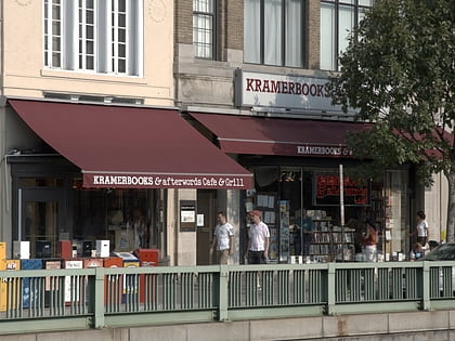
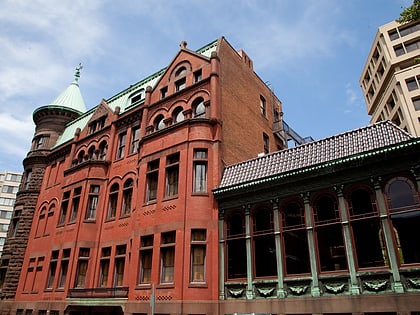
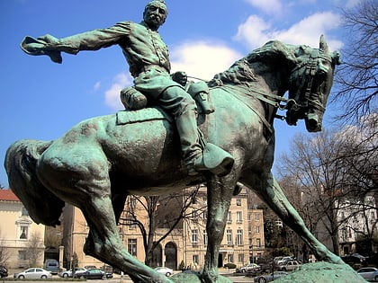
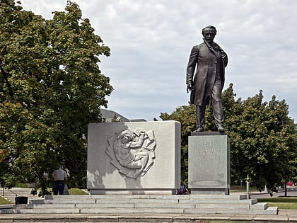
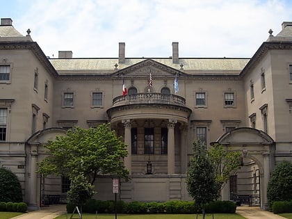
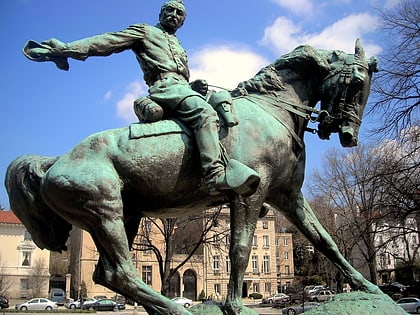
Nearby attractions include: Kramers, The Phillips Collection, Heurich House Museum, Philip Sheridan.
Frequently Asked Questions (FAQ)
Which popular attractions are close to West End?
How to get to West End by public transport?
Metro
- Dupont Circle • Lines: Rd (10 min walk)
- Foggy Bottom–GWU • Lines: Bl, Or, Sv (12 min walk)
Bus
- MTA Bus Stop • Lines: 305, 315 (13 min walk)
- 21st St & F St Northwest (18 min walk)

