The Farm, San Francisco
Map
Facts and practical information
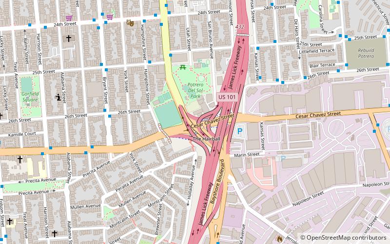
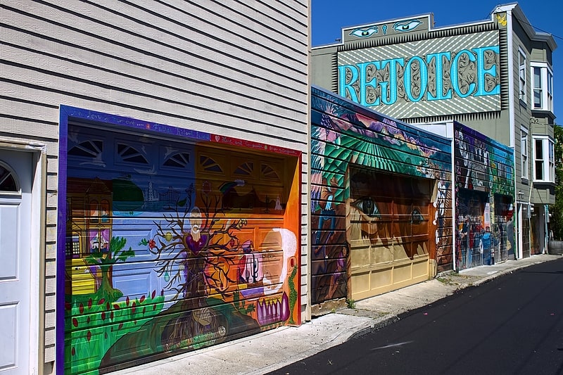
The Farm, also known as Crossroads Community, located at the corner of Army Street and Potrero Avenue in San Francisco, California, was a community center from 1974 to 1987. It was founded by Bonnie Ora Sherk and Jack Wickert in 1974. The open space incorporated a major freeway interchange and is now site of Potrero del Sol Park, which was originally inspired by The Farm. ()
Coordinates: 37°44'57"N, 122°24'18"W
Address
Southeast San Francisco (Potrero Hill)San Francisco
ContactAdd
Social media
Add
Getting there by public transportation
Public transportation stops near this location
- Metro
- Bus
- Trolleybus
- Light rail
- Train
 Metro
Metro
- Calculate routePotrero Avenue & 25th Street 5 min walk
- Calculate routeKansas Street & 26th Street 5 min walk
- Calculate routeBryant Street & 26th Street 6 min walk
- Calculate routeRhode Island Street & 26th Street 6 min walk
- Calculate route25th Street & Potrero Avenue 5 min walk
- Calculate routePotrero Avenue & 24th Street 7 min walk
- Calculate routeHampshire Street & 24th Street 7 min walk
- Calculate routeSan Francisco General Hospital 10 min walk
- Calculate route24th Street Mission 20 min walk
- Calculate route16th Street Mission 35 min walk
- Calculate route22nd Street 23 min walk
- Calculate routeMarin Street 25 min walk
- Calculate route23rd Street 26 min walk
- Calculate routeEvans 27 min walk
- Calculate routeHudson/Innes 28 min walk
Maps Muni Metro
Muni MetroDay trips


Frequently Asked Questions (FAQ)
Which popular attractions are close to The Farm?
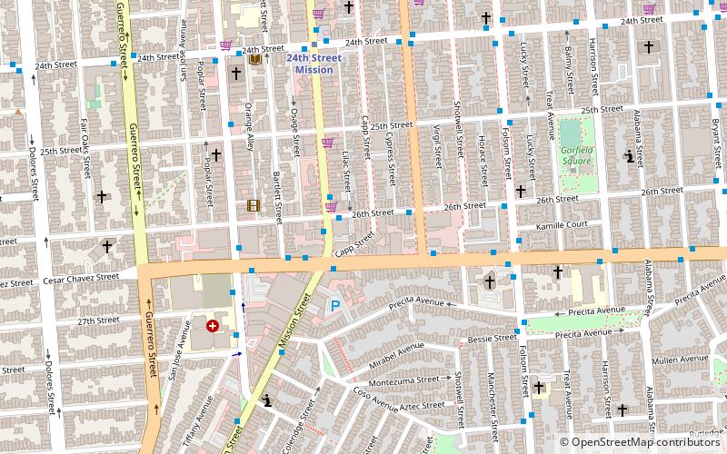
Nearby attractions include Garfield Square, San Francisco (10 min walk), Balmy Alley, San Francisco (11 min walk), Potrero Hill Recreation Center, San Francisco (17 min walk), Vermont Street, San Francisco (17 min walk).
How to get to The Farm by public transport?
The nearest stations to The Farm:
Bus
Trolleybus
Metro
Train
Light rail
Bus
- Potrero Avenue & 25th Street • Lines: 9, 90 (5 min walk)
- Kansas Street & 26th Street • Lines: 19, 48 (5 min walk)
Trolleybus
- 25th Street & Potrero Avenue • Lines: 33 (5 min walk)
- Potrero Avenue & 24th Street • Lines: 33 (7 min walk)
Metro
- 24th Street Mission • Lines: Blue, Green, Red, Yellow (20 min walk)
- 16th Street Mission • Lines: Blue, Green, Red, Yellow (35 min walk)
Train
- 22nd Street (23 min walk)
Light rail
- Marin Street • Lines: T (25 min walk)
- 23rd Street • Lines: T (26 min walk)