The Landing, Kansas City
Map
Facts and practical information
Landing is the last part of a flight, where a flying animal, aircraft, or spacecraft returns to the ground. ()
Address
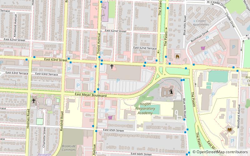
1240 E Meyer BlvdSouth Side (Neighborhood United For Action)Kansas City 64131
Contact
(816) 523-0978
Social media
Add
Getting there by public transportation
Public transportation stops near this location
- Bus
 Bus
Bus
- Calculate route63rd at Troost 3 min walk
- Calculate routeTroost at Meyer 3 min walk
- Calculate routeThe Landing/63rd Street 3 min walk
Day trips


Frequently Asked Questions (FAQ)
How to get to The Landing by public transport?
The nearest stations to The Landing:
Bus
Bus
- 63rd at Troost • Lines: 63 (3 min walk)
- Troost at Meyer • Lines: 25 (3 min walk)