Armour Hills, Kansas City

Gallery (1)
Map

Map
Facts and practical information
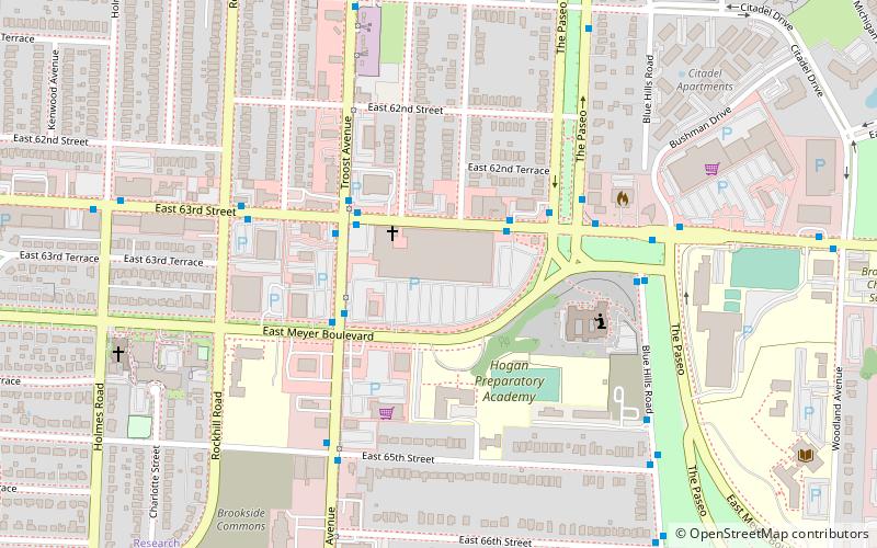
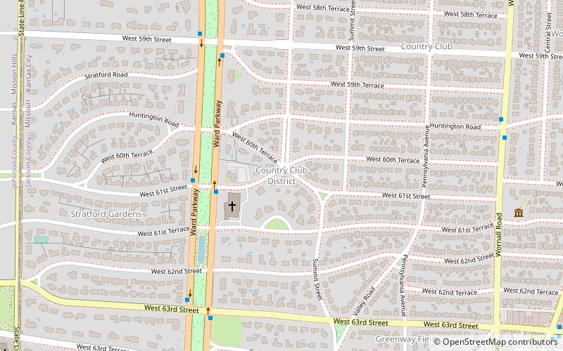
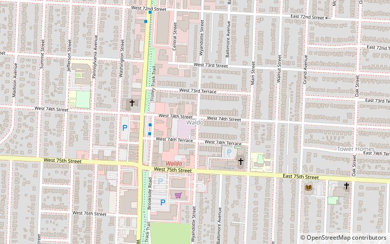
Armour Hills is a neighborhood located in Kansas City, Missouri. It is bounded on the west by Brookside Road, on the north by 65th Street, on the east by Oak Street and the south by Gregory Boulevard. The name of this area derives from the fact that the land was owned by members of the Armour family of the Armour and Company. ()
Coordinates: 39°0'22"N, 94°35'20"W
Address
Midtown (Armour Hills)Kansas City
ContactAdd
Social media
Add
Getting there by public transportation
Public transportation stops near this location
- Bus
 Bus
Bus
- Calculate routeWornall at 67th Terrace 7 min walk
Day trips


Frequently Asked Questions (FAQ)
Which popular attractions are close to Armour Hills?
Nearby attractions include St. Andrew's Episcopal Church, Kansas City (12 min walk), Waldo, Kansas City (22 min walk), John Wornall House Museum, Kansas City (23 min walk).
How to get to Armour Hills by public transport?
The nearest stations to Armour Hills:
Bus
Bus
- Wornall at 67th Terrace • Lines: Mmax (7 min walk)