Blue Hills, Kansas City
Map
Facts and practical information
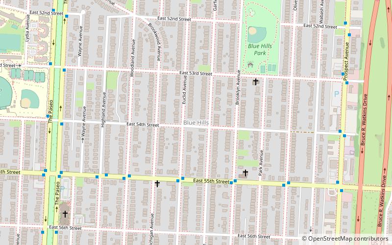
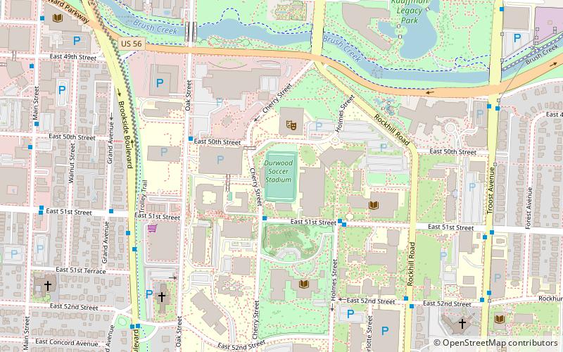
Blue Hills is a neighborhood in Southeast Kansas City, Missouri bounded North by Swope Parkway, South by 63rd Street, East by Prospect Ave, and West by The Paseo. The ZIP code for this neighborhood is 64110 and 64130. ()
Coordinates: 39°1'43"N, 94°33'41"W
Address
South Side (Blue Hills)Kansas City
ContactAdd
Social media
Add
Getting there by public transportation
Public transportation stops near this location
- Bus
 Bus
Bus
- Calculate route55th at Euclid 4 min walk
Day trips
Blue Hills – popular in the area (distance from the attraction)
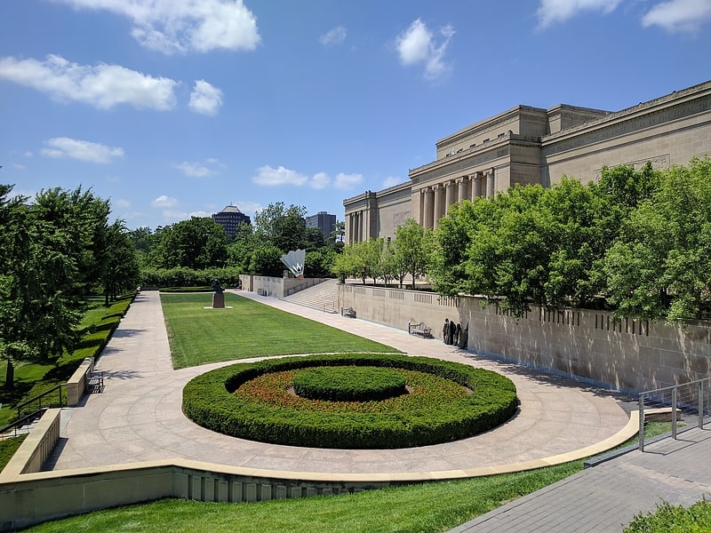
Nearby attractions include: Nelson-Atkins Museum of Art, Ewing and Muriel Kauffman Memorial Garden, The National Museum of Toys and Miniatures, The Landing.


Frequently Asked Questions (FAQ)
How to get to Blue Hills by public transport?
The nearest stations to Blue Hills:
Bus
Bus
- 55th at Euclid • Lines: 55 (4 min walk)