Valley View Bridge, Cleveland
Map

Map

Facts and practical information
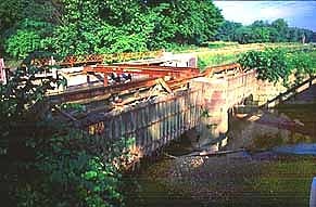
The Valley View Bridge is a trio of steel multi-stringer highway girder bridges that carry Interstate 480 over the Cuyahoga River valley in Valley View and Independence, Ohio. They are 215 feet high and 4,150 feet long. ()
Opened: 1977 (49 years ago)Length: 4150 ftHeight: 212 ftCoordinates: 41°24'31"N, 81°38'2"W
Address
IndependenceCleveland
ContactAdd
Social media
Add
Day trips
Valley View Bridge – popular in the area (distance from the attraction)
Nearby attractions include: Riverside Cemetery Gatehouse, St. Stanislaus, Sacred Heart of Jesus Roman Catholic Church, St. Josaphat Ukrainian Catholic Cathedral.
Frequently Asked Questions (FAQ)
How to get to Valley View Bridge by public transport?
The nearest stations to Valley View Bridge:
Train
Train
- Rockside (29 min walk)


