Bohemian National Hall, Cleveland
Map
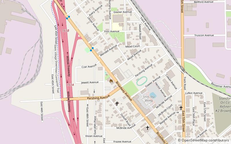
Map

Facts and practical information
Bohemian National Hall is an historic building located in the Broadway–Slavic Village neighborhood of Cleveland, Ohio. It was listed on the National Register of Historic Places in May 1975. The hall was built to serve the cultural and educational needs of the city's Czech community, and currently serves as host to Sokol Greater Cleveland and the Cleveland Czech Cultural Center and Museum. ()
Coordinates: 41°28'20"N, 81°39'23"W
Address
4939 Broadway AvenueBroadway Slavic Village (North Broadway)Cleveland
ContactAdd
Social media
Add
Day trips
Bohemian National Hall – popular in the area (distance from the attraction)
Nearby attractions include: St. Stanislaus, South Broadway, Broadway Avenue Historic District, Cuyahoga Valley.
Frequently Asked Questions (FAQ)
Which popular attractions are close to Bohemian National Hall?
Nearby attractions include Broadway Avenue Historic District, Cleveland (12 min walk), Cuyahoga Valley, Cleveland (24 min walk).
How to get to Bohemian National Hall by public transport?
The nearest stations to Bohemian National Hall:
Metro
Light rail
Metro
- East 55th • Lines: Red (16 min walk)
- Tri-C–Campus District • Lines: Red (28 min walk)
Light rail
- East 55th • Lines: 67Ax, 67AX Blue, Blue, Green (17 min walk)
- Tri-C–Campus District • Lines: 67Ax, 67AX Blue, Blue, Green (28 min walk)


