333 Bush Street, San Francisco

Gallery (1)
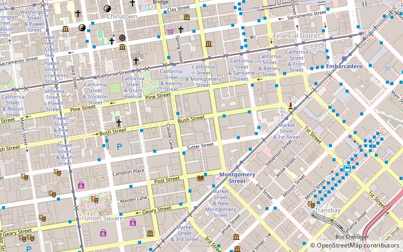
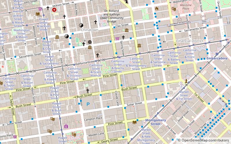
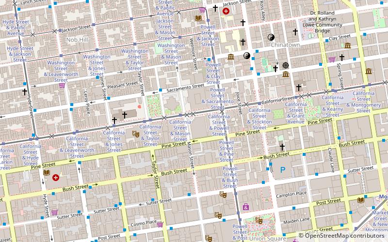
Map
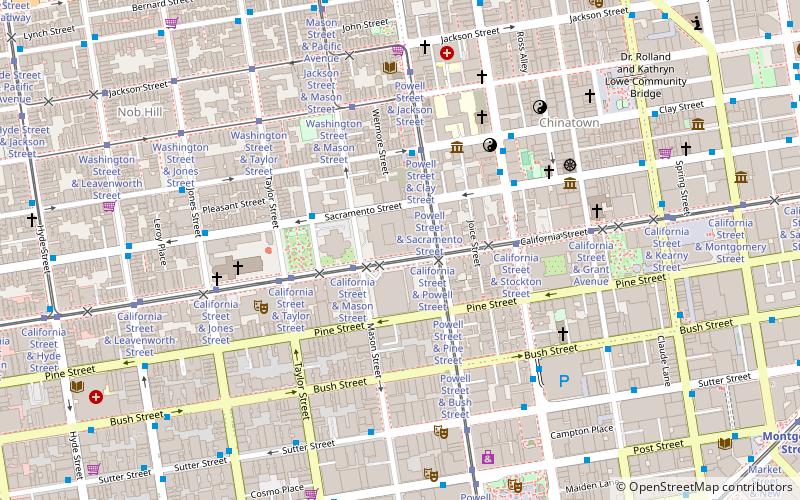
Map
Facts and practical information
333 Bush Street is a 43-floor, 151 m mixed-use skyscraper located on Bush Street in the Financial District of San Francisco, California. The building was completed in 1986 and was designed by Skidmore, Owings & Merrill and contains commercial offices as well as seven stories of individually owned residential condominiums. It is one of 39 San Francisco high rises reported by the U.S. Geological Survey as potentially vulnerable to a large earthquake, due to a flawed welding technique. ()
Address
333 Bush StNortheast San Francisco (Downtown San Francisco-Union Square)San Francisco
ContactAdd
Social media
Add
Getting there by public transportation
Public transportation stops near this location
- Metro
- Bus
- Trolleybus
- Tram
- Light rail
- Train
- Ferry
 Metro
Metro
- Calculate routeSutter Street & Sansome Street 3 min walk
- Calculate routeSutter Street & Kearny Street 4 min walk
- Calculate routeMarket Street & Sansome Street 4 min walk
- Calculate routeSansome Street & Sutter Street 4 min walk
- Calculate routeSutter Street & Kearny Street 4 min walk
- Calculate routeKearny Street & Geary Street 4 min walk
- Calculate routeSacramento Street & Montgomery Street 6 min walk
- Calculate routeStockton Street & Sutter Street 6 min walk
- Calculate routeMarket Street & 2nd Street 4 min walk
- Calculate routeCalifornia Street & Montgomery Street 4 min walk
- Calculate routeCalifornia Street & Kearny Street 5 min walk
- Calculate routeMontgomery Street 4 min walk
- Calculate routeEmbarcadero 10 min walk
- Calculate routePowell Street 12 min walk
- Calculate routeMontgomery Street 4 min walk
- Calculate routeEmbarcadero 10 min walk
- Calculate routePowell Street 13 min walk
- Calculate routeFolsom 20 min walk
- Calculate routeFerry Building Gate B 18 min walk
- Calculate routeSan Francisco 4th & King Street 28 min walk
Maps Muni Metro
Muni MetroDay trips
333 Bush Street – popular in the area (distance from the attraction)
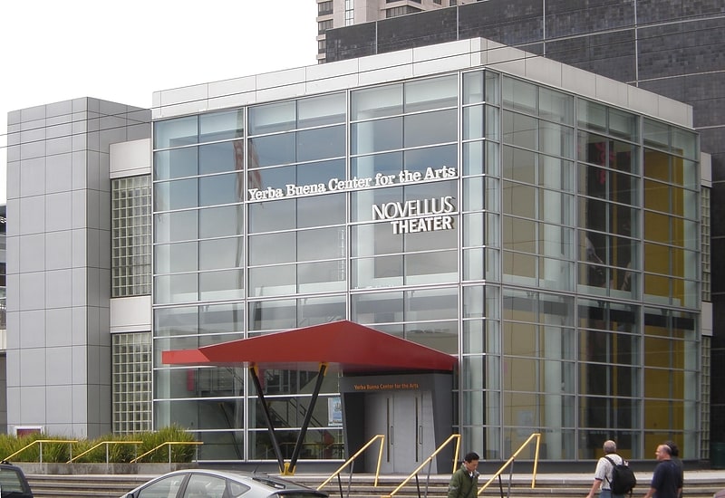
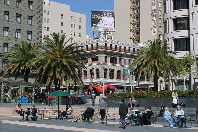
Nearby attractions include: Yerba Buena Center for the Arts, Union Square, Admission Day Monument, San Francisco Comfort Women Memorial.


Frequently Asked Questions (FAQ)
Which popular attractions are close to 333 Bush Street?
Nearby attractions include Hallidie Building, San Francisco (2 min walk), Mills Building and Tower, San Francisco (2 min walk), Russ Building, San Francisco (2 min walk), Belden Place, San Francisco (2 min walk).
How to get to 333 Bush Street by public transport?
The nearest stations to 333 Bush Street:
Bus
Trolleybus
Tram
Metro
Light rail
Ferry
Train
Bus
- Sutter Street & Sansome Street • Lines: 15 (3 min walk)
- Sutter Street & Kearny Street • Lines: 30, 8, 91 (4 min walk)
Trolleybus
- Sutter Street & Kearny Street • Lines: 30, 45 (4 min walk)
- Kearny Street & Geary Street • Lines: 30, 45 (4 min walk)
Tram
- Market Street & 2nd Street • Lines: F (4 min walk)
- California Street & Montgomery Street (4 min walk)
Metro
- Montgomery Street • Lines: Blue, Green, Red, Yellow (4 min walk)
- Embarcadero • Lines: Blue, Green, Red, Yellow (10 min walk)
Light rail
- Montgomery Street • Lines: K, N, S, T (4 min walk)
- Embarcadero • Lines: K, N, S, T (10 min walk)
Ferry
- Ferry Building Gate B • Lines: San Francisco Bay Ferry (18 min walk)
Train
- San Francisco 4th & King Street (28 min walk)