Suffolk Resolves House, Milton
Map

Map

Facts and practical information
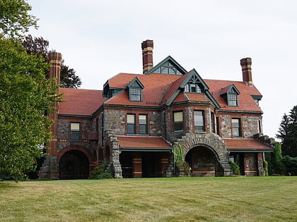
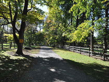
The Suffolk Resolves House is the building where the Suffolk Resolves were signed on September 4, 1774. The Resolves were an important predecessor document to the Declaration of Independence. At that time, it was owned by Daniel Vose, who at his marriage had combined two existing buildings to make one house. The two parts are shown in the two gallery photographs. ()
Coordinates: 42°14'3"N, 71°6'31"W
Address
Milton (Brush Hill)Milton
ContactAdd
Social media
Add
Day trips
Suffolk Resolves House – popular in the area (distance from the attraction)
Nearby attractions include: Eustis Estate, Neponset Valley Parkway, Paul's Bridge, Blue Hills Trailside Museum.
Frequently Asked Questions (FAQ)
Which popular attractions are close to Suffolk Resolves House?
Nearby attractions include Eustis Estate, Milton (7 min walk), Paul's Bridge, Boston (19 min walk), Neponset Valley Parkway, Boston (19 min walk), Brush Hill Historic District, Milton (21 min walk).


