Clark Park, Philadelphia
Map

Map

Facts and practical information
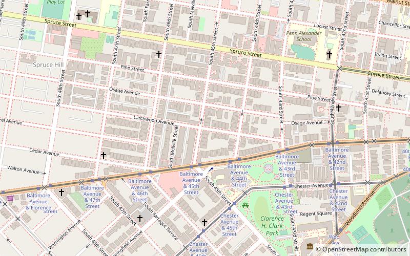
Clark Park is a municipal park in the Spruce Hill section of West Philadelphia in Philadelphia, Pennsylvania. Its 9.1 acres are bordered by 43rd and 45th streets, and by Baltimore and Woodland Avenues. ()
Created: 1895Elevation: 79 ft a.s.l.Coordinates: 39°57'1"N, 75°12'45"W
Day trips
Clark Park – popular in the area (distance from the attraction)
Nearby attractions include: Masjid Al-Jamia, Saint Mary's Church, Institute of Contemporary Art, The Woodlands.
Frequently Asked Questions (FAQ)
Which popular attractions are close to Clark Park?
Nearby attractions include West Philadelphia Streetcar Suburb Historic District, Philadelphia (1 min walk), St. Francis de Sales Roman Catholic Church, Philadelphia (7 min walk), Spruce Hill, Philadelphia (8 min walk), Calvary United Methodist Church, Philadelphia (9 min walk).
How to get to Clark Park by public transport?
The nearest stations to Clark Park:
Tram
Train
Metro
Bus
Tram
- Baltimore Avenue & 45th Street • Lines: 34 (3 min walk)
Train
- 49th Street (14 min walk)
- Penn Medicine (31 min walk)
Metro
- 46th Street • Lines: Mfl (15 min walk)
- 40th Street • Lines: Mfl (19 min walk)
Bus
- Market St & 39th St • Lines: 40 (22 min walk)

 SEPTA Regional Rail


