Gray's Ferry Bridge, Philadelphia
Map
Gallery
Facts and practical information
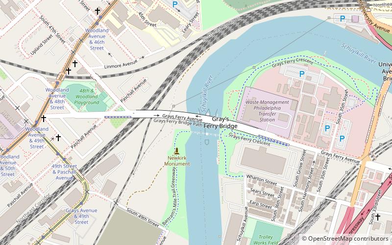
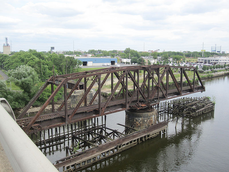
Gray's Ferry Bridge has been the formal or informal name of several floating bridges and four permanent ones that have carried highway and rail traffic over the Schuylkill River in Philadelphia. The bridge today is a four-lane divided highway bridge, built in 1976, that carries Grays Ferry Avenue from the Grays Ferry neighborhood on the east bank, over the river and the Northeast Corridor railroad tracks, to the Southwest Philadelphia neighborhood of Kingsessing. ()
Opened: 1976 (50 years ago)Length: 1482 ftCoordinates: 39°56'28"N, 75°12'20"W
Day trips
Gray's Ferry Bridge – popular in the area (distance from the attraction)
Nearby attractions include: Penn Museum, Saint Mary's Church, Clark Park, The Woodlands.
Frequently Asked Questions (FAQ)
Which popular attractions are close to Gray's Ferry Bridge?
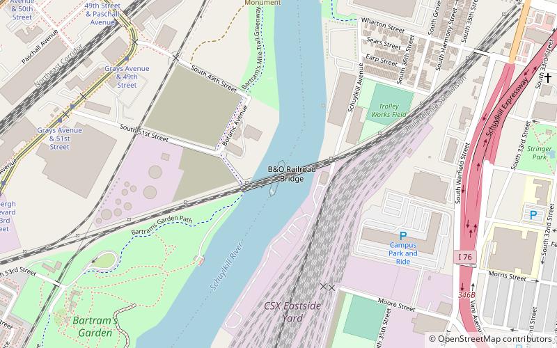
Nearby attractions include Newkirk Viaduct Monument, Philadelphia (8 min walk), B&O Railroad Bridge, Philadelphia (10 min walk), South Street Bridge, Philadelphia (11 min walk), The Woodlands, Philadelphia (12 min walk).
How to get to Gray's Ferry Bridge by public transport?
The nearest stations to Gray's Ferry Bridge:
Tram
Train
Metro
Bus
Tram
- 49th Street & Paschall Avenue • Lines: 36 (9 min walk)
- Grays Avenue & 49th Street • Lines: 36 (9 min walk)
Train
- 49th Street (16 min walk)
- Penn Medicine (24 min walk)
Metro
- 40th Street • Lines: Mfl (29 min walk)
- 34th Street • Lines: Mfl (33 min walk)
Bus
- Market St & 39th St • Lines: 40 (30 min walk)
- Megabus (40 min walk)

 SEPTA Regional Rail


