Dyker Beach Park and Golf Course, New York City
Map
Gallery
Facts and practical information
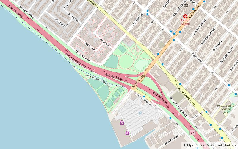
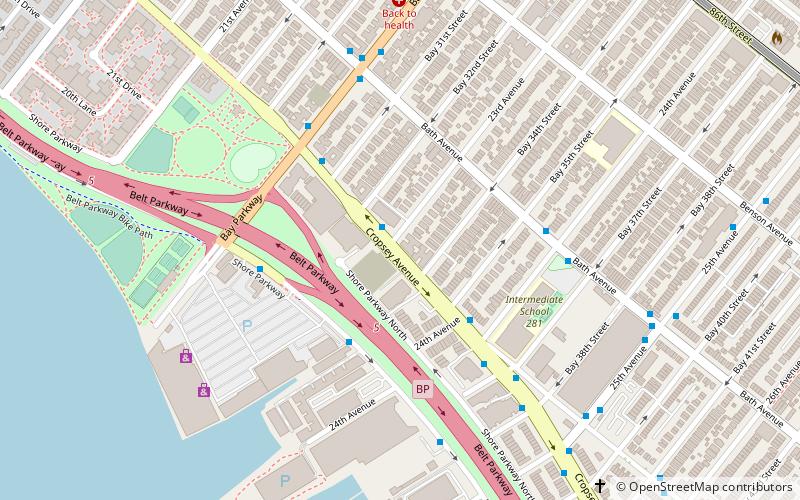
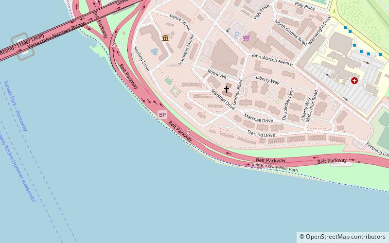
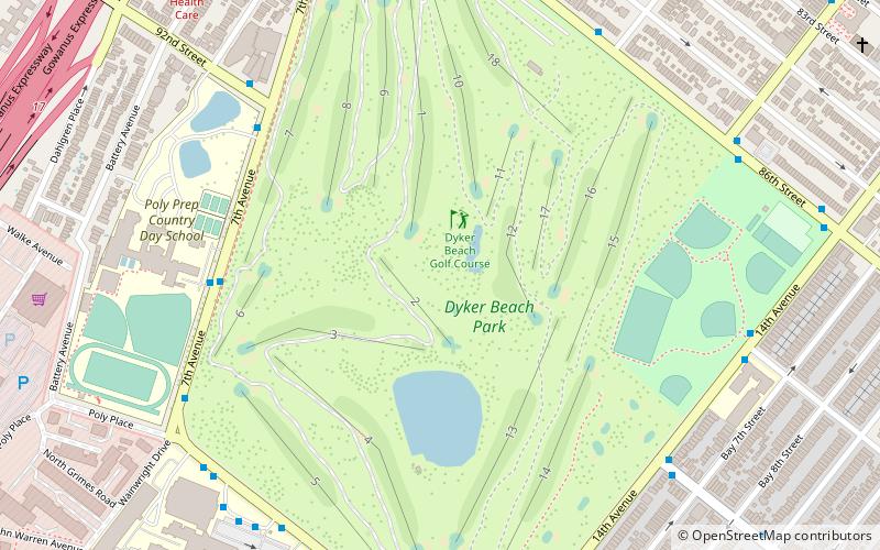
The Dyker Beach Park and Golf Course is a public park and a municipal, 18-hole, championship golf course in the southernmost part of Dyker Heights, Brooklyn, in New York City, United States. The area stretches from the Belt Parkway in the south to 86th Street in the north, between 7th Avenue on the west and 14th Avenue on the east. ()
Coordinates: 40°36'44"N, 74°1'10"W
Address
Southwestern Brooklyn (Dyker Heights)New York City
ContactAdd
Social media
Add
Day trips
Dyker Beach Park and Golf Course – popular in the area (distance from the attraction)
Nearby attractions include: Harbor Defense Museum, Bay Ridge United Church, John Paul Jones Park, New Utrecht Reformed Church.
Frequently Asked Questions (FAQ)
Which popular attractions are close to Dyker Beach Park and Golf Course?
Nearby attractions include John J Carty Park, Sea Gate (16 min walk), Harbor Defense Museum, New York City (18 min walk), Fort Hamilton, New York City (19 min walk), John Paul Jones Park, New York City (20 min walk).
How to get to Dyker Beach Park and Golf Course by public transport?
The nearest stations to Dyker Beach Park and Golf Course:
Metro
Metro
- Bay Ridge–95th Street • Lines: R (17 min walk)
- 86th Street • Lines: R (24 min walk)

 Subway
 Manhattan Buses