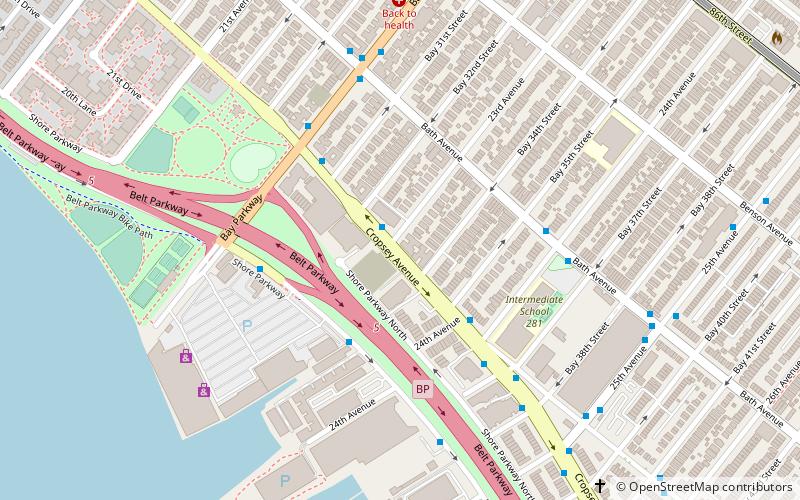
New Utrecht, New York City
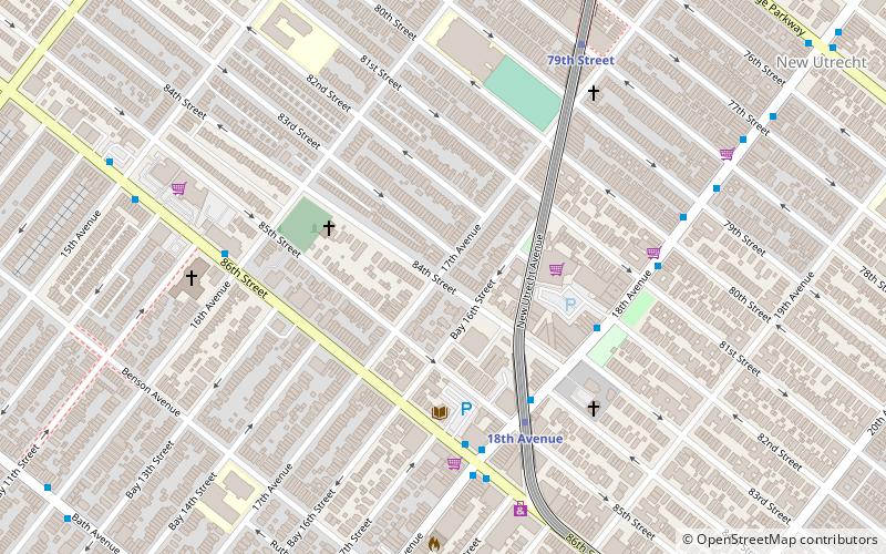
Facts and practical information
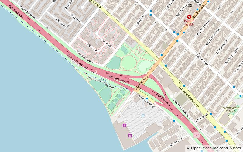
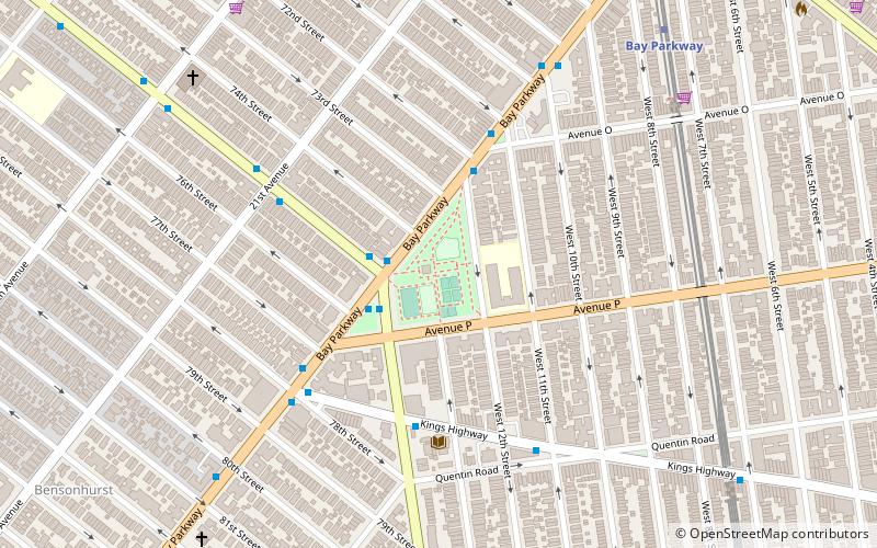
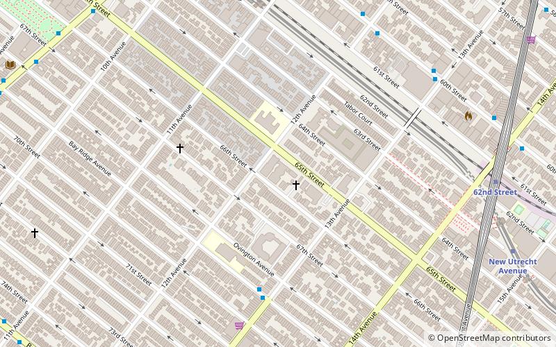
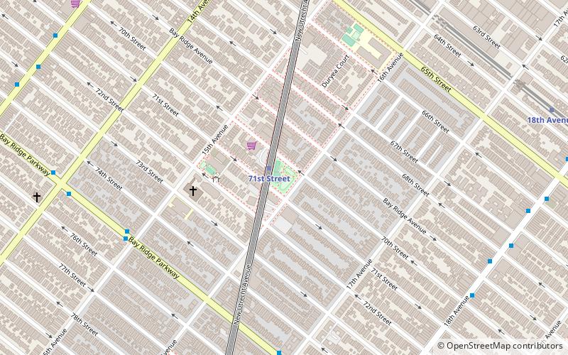
New Utrecht was a town in western Long Island, New York encompassing all or part of the present-day Bath Beach, Bay Ridge, Bensonhurst, Borough Park, Dyker Heights and Fort Hamilton neighborhoods of Brooklyn, New York City. New Utrecht was established in 1652 by Dutch settlers in the Dutch colony of New Netherland, the last of the original six towns to be founded in Kings County. New Utrecht ceased to exist in 1894 when it was annexed by the City of Brooklyn, and became part of the City of Greater New York when Brooklyn joined as a borough in 1898. ()
New Utrecht – popular in the area (distance from the attraction)
Nearby attractions include: Bay Ridge United Church, Dyker Beach Park and Golf Course, New Utrecht Reformed Church, Bensonhurst Park.
Frequently Asked Questions (FAQ)
Which popular attractions are close to New Utrecht?
How to get to New Utrecht by public transport?
Metro
- 18th Avenue • Lines: D (5 min walk)
- 79th Street • Lines: D (8 min walk)
 Subway
 Manhattan Buses


