Cropsey Avenue, New York City
Map
Facts and practical information
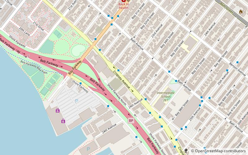
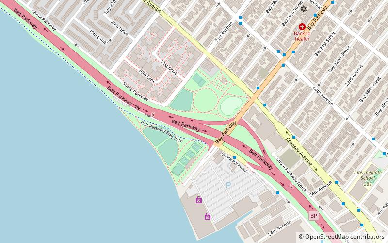
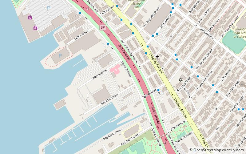
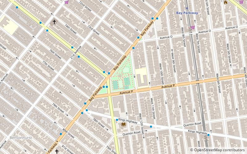
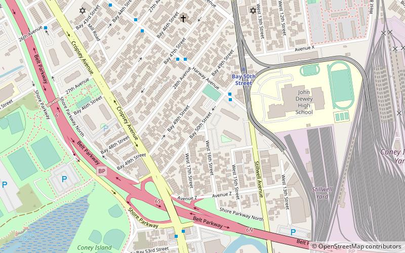
Cropsey Avenue is a major street in Brooklyn, New York City. It generally runs northwest-southeast, from Poly Place/14th Avenue in Bath Beach to Neptune Avenue/West 17th Street in Coney Island. It forms the northeastern boundary of Dreier-Offerman Park. ()
Coordinates: 40°35'44"N, 73°59'47"W
Address
Southern Brooklyn (Gravesend)New York City
ContactAdd
Social media
Add
Getting there by public transportation
Public transportation stops near this location
- Metro
- Bus
 Metro
Metro
- Calculate routeBay Parkway 12 min walk
- Calculate route25th Avenue 14 min walk
- Calculate route86th Street & West 8th Street 25 min walk
Maps SubwayMaps
 Manhattan Buses
SubwayMapsManhattan BusesDay trips


Frequently Asked Questions (FAQ)
Which popular attractions are close to Cropsey Avenue?
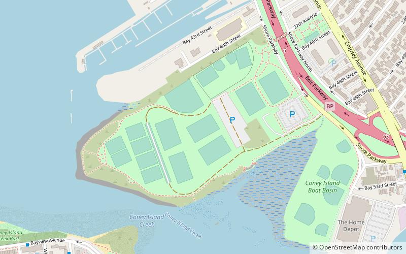
Nearby attractions include Bath Beach, New York City (4 min walk), Bensonhurst Park, Sea Gate (7 min walk), Adventurer's Park, New York City (9 min walk), Bensonhurst, New York City (15 min walk).
How to get to Cropsey Avenue by public transport?
The nearest stations to Cropsey Avenue:
Metro
Bus
Metro
- Bay Parkway • Lines: D (12 min walk)
- 25th Avenue • Lines: D (14 min walk)
Bus
- 86th Street & West 8th Street • Lines: B1, B4 (25 min walk)