Taubman College of Architecture and Urban Planning, Ann Arbor
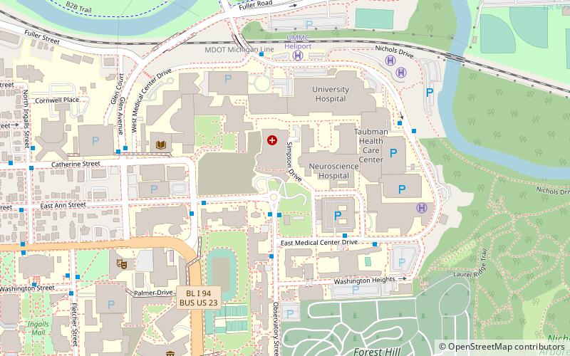
Map

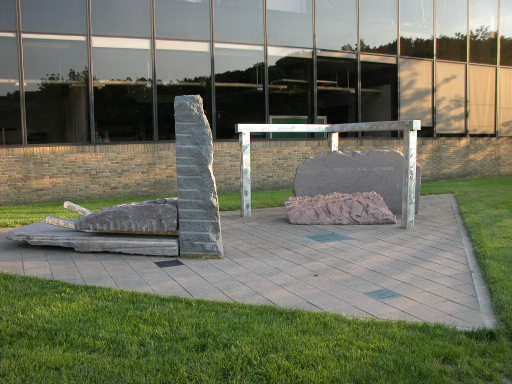
Gallery

Facts and practical information
The A. Alfred Taubman College of Architecture and Urban Planning, also known as Taubman College, is one of the nine professional schools at the University of Michigan, Ann Arbor. ()
Established: 1906 (120 years ago)Coordinates: 42°16'58"N, 83°43'51"W
Day trips
Taubman College of Architecture and Urban Planning – popular in the area (distance from the attraction)
Nearby attractions include: Yost Ice Arena, Matthaei Botanical Gardens, Nickels Arcade, St. Thomas the Apostle Catholic Church.
Frequently Asked Questions (FAQ)
Which popular attractions are close to Taubman College of Architecture and Urban Planning?
Nearby attractions include Detroit Observatory, Ann Arbor (3 min walk), Forest Hill Cemetery, Ann Arbor (9 min walk), University of Michigan Museum of Natural History, Ann Arbor (10 min walk), Matthaei Botanical Gardens, Ann Arbor (11 min walk).
How to get to Taubman College of Architecture and Urban Planning by public transport?
The nearest stations to Taubman College of Architecture and Urban Planning:
Bus
Train
Bus
- Cardiovascular Center • Lines: 23A, 23B, 91, 92, Commuter South (2 min walk)
- University Hospital • Lines: 23A, 23B, 63, 92, Commuter South (6 min walk)
Train
- Ann Arbor (19 min walk)


