Tenley Circle, Washington D.C.
Map

Map

Facts and practical information
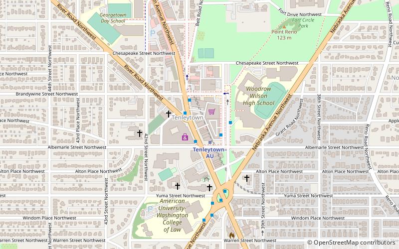
Tenley Circle is a traffic circle in the Northwest Washington, D.C. neighborhood of Tenleytown. Tenley Circle lies at the intersection of Nebraska Avenue, Wisconsin Avenue, and Yuma Street. Unlike many of the circles in Washington, Tenley's traffic pattern has evolved such that the dominant roadway, Wisconsin Avenue, can pass straight through the center instead of going around the outside circumference. ()
Elevation: 381 ft a.s.l.Coordinates: 38°56'47"N, 77°4'40"W
Address
3919 Windom Pl NWNorthwest Washington (AU Park - Friendship Heights - Tenley)Washington D.C.
Contact
Social media
Add
Day trips
Tenley Circle – popular in the area (distance from the attraction)
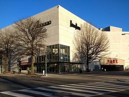
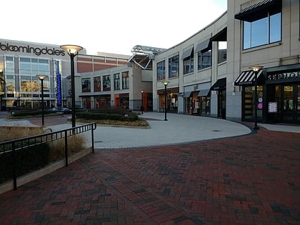
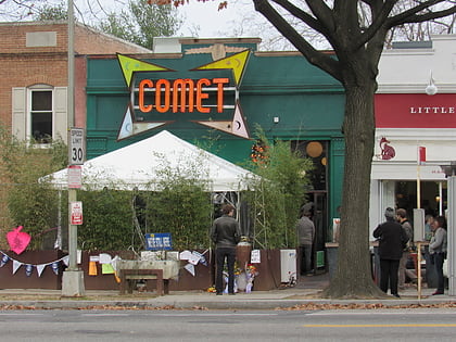
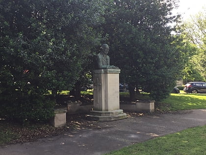
Nearby attractions include: Mazza Gallerie, The Shops at Wisconsin Place, Comet Ping Pong, Peter Muhlenberg Memorial.
Frequently Asked Questions (FAQ)
Which popular attractions are close to Tenley Circle?
Nearby attractions include Convent de Bon Secours, Washington D.C. (4 min walk), Tenley Campus, Washington D.C. (5 min walk), Tenley-Friendship Neighborhood Library, Washington D.C. (5 min walk), Grant Road Historic District, Washington D.C. (5 min walk).
How to get to Tenley Circle by public transport?
The nearest stations to Tenley Circle:
Metro
Bus
Metro
- Tenleytown–AU • Lines: Rd (5 min walk)
- Van Ness–UDC • Lines: Rd (21 min walk)
Bus
- Friendship Heights Metro • Lines: 1, 11, 23, 29, 30N, 30S, 31, 33, 34, 37, E4, E6, L2, L8, N2, N4, N6, T2 (28 min walk)
- South Campus • Lines: White Route (27 min walk)

