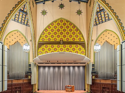
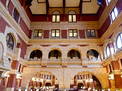
Daskalakis Athletic Center, Philadelphia
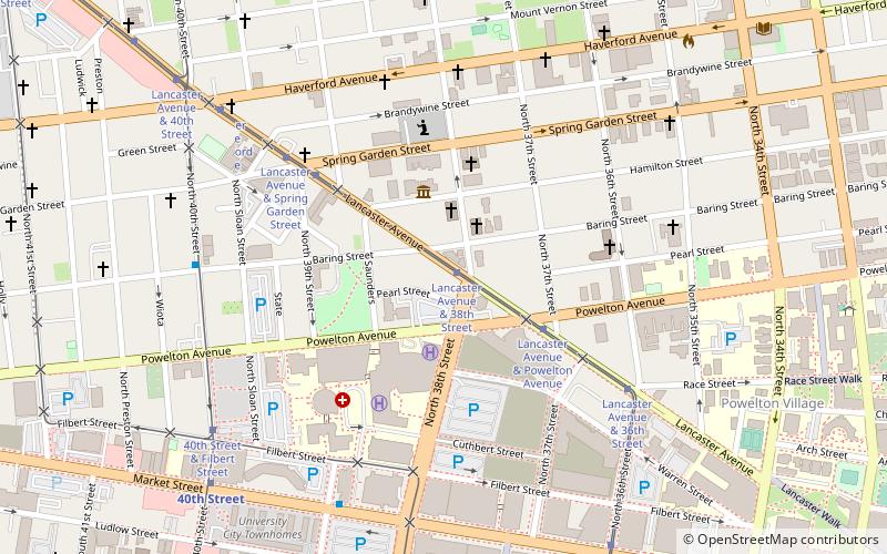
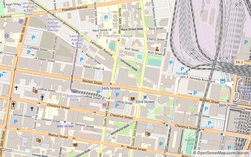
Map
Gallery
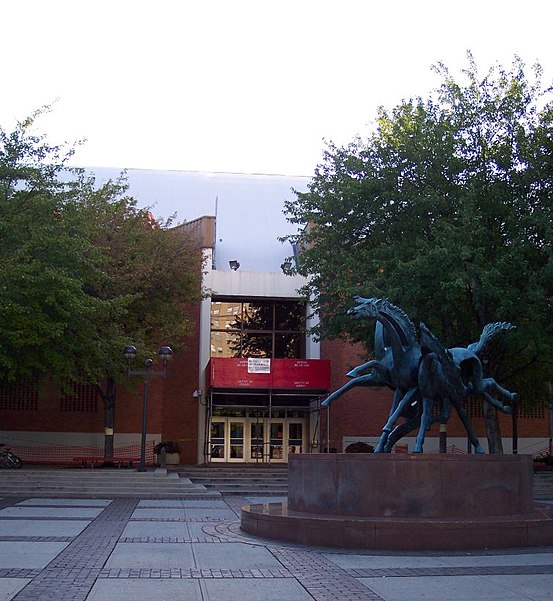
Facts and practical information
Daskalakis Athletic Center is a 300,000 square feet athletic and recreational facility in Philadelphia, Pennsylvania. ()
Opened: February 1975 (51 years ago)Capacity: 2509Coordinates: 39°57'22"N, 75°11'26"W
Day trips
Daskalakis Athletic Center – popular in the area (distance from the attraction)
Nearby attractions include: Walnut Street, Spiral Q Puppet Theater, Cira Centre, Institute of Contemporary Art.
Frequently Asked Questions (FAQ)
Which popular attractions are close to Daskalakis Athletic Center?
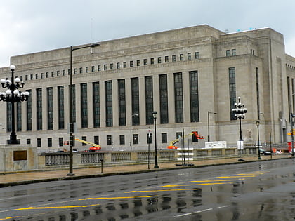
Nearby attractions include Pennsylvania Railroad Office Building, Philadelphia (4 min walk), Powelton Village, Philadelphia (4 min walk), Centennial National Bank, Philadelphia (6 min walk), Campus of Drexel University, Philadelphia (7 min walk).
How to get to Daskalakis Athletic Center by public transport?
The nearest stations to Daskalakis Athletic Center:
Metro
Tram
Bus
Train
Metro
- 34th Street • Lines: Mfl (2 min walk)
- 30th Street • Lines: Mfl (10 min walk)
Tram
- 33rd Street • Lines: 10, 11, 13, 34, 36 (3 min walk)
- 36th Street Portal • Lines: 10 (5 min walk)
Bus
- Megabus (9 min walk)
- Bolt Bus (9 min walk)
Train
- Philadelphia 30th Street Station (12 min walk)
- Penn Medicine (15 min walk)

 SEPTA Regional Rail