Wild Kitty, Denver
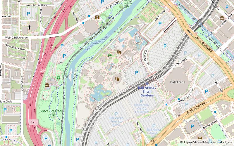
Map

Map

Facts and practical information
Wild Kitty was a steel roller coaster located at Frontier City in Oklahoma City, Oklahoma, which opened at the start of the 2013 season on April 7, 2013. It closed at the end of the 2018 season and was replaced by Frankie's Mine Train. ()
Height: 12 ftCoordinates: 39°44'57"N, 105°0'43"W
Address
Northwest Denver (Auraria)Denver
ContactAdd
Social media
Add
Day trips
Wild Kitty – popular in the area (distance from the attraction)
Nearby attractions include: Elitch Gardens, Empower Field at Mile High, Ball Arena, Children's Museum of Denver.
Frequently Asked Questions (FAQ)
Which popular attractions are close to Wild Kitty?
Nearby attractions include Downtown Aquarium, Denver (6 min walk), Children's Museum of Denver, Denver (7 min walk), Speer Boulevard, Denver (8 min walk), Platte Valley Trolley, Denver (10 min walk).
How to get to Wild Kitty by public transport?
The nearest stations to Wild Kitty:
Light rail
Bus
Train
Light rail
- Ball Arena / Elitch Gardens • Lines: C, E, W (4 min walk)
- Empower Field at Mile High • Lines: C, E, W (11 min walk)
Bus
- Auraria Parkway & 9th Street • Lines: 1 (8 min walk)
- Auraria Parkway & 7th Street • Lines: 1, 20 (8 min walk)
Train
- Union Station (18 min walk)


