Sutro Baths, San Francisco
Map
Facts and practical information
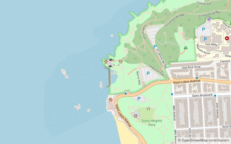
The Sutro Baths was a large, privately owned public saltwater swimming pool complex in the Lands End area of the Outer Richmond District in western San Francisco, California. ()
Address
Northwest San Francisco (Lincoln Park-Fort Miley)San Francisco
ContactAdd
Social media
Add
Getting there by public transportation
Public transportation stops near this location
- Bus
- Trolleybus
 Bus
Bus
- Calculate route48th Avenue & Point Lobos Avenue 7 min walk
- Calculate routeGeary Boulevard & 45th Avenue 11 min walk
- Calculate routePoint Lobos Avenue & 44th Avenue 13 min walk
- Calculate route33rd Avenue & Clement Street 29 min walk
- Calculate routeGeary Boulevard & 33rd Avenue 29 min walk
- Calculate route32nd Avenue & Geary Boulevard 30 min walk
Maps Muni Metro
Muni MetroDay trips


Frequently Asked Questions (FAQ)
Which popular attractions are close to Sutro Baths?
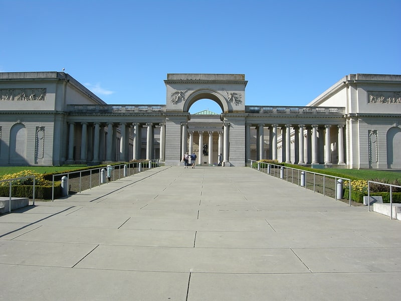
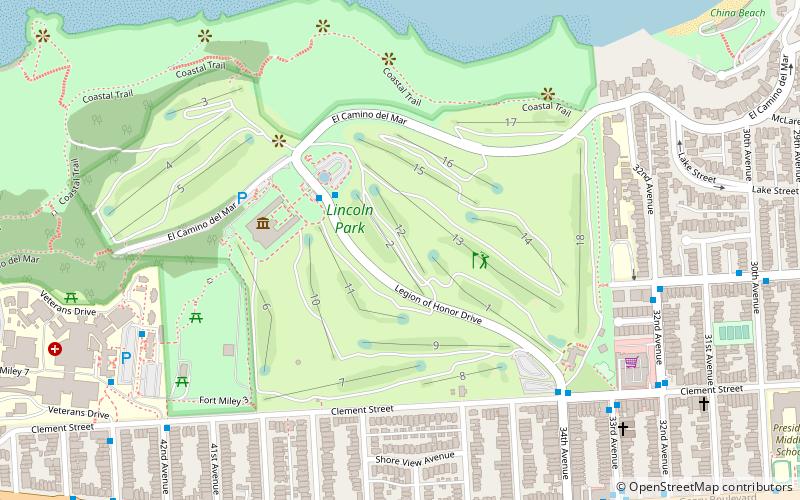
Nearby attractions include Camera Obscura, San Francisco (4 min walk), USS San Francisco Memorial, San Francisco (5 min walk), Sutro Heights Park, San Francisco (7 min walk), Fort Miley Military Reservation, San Francisco (12 min walk).
How to get to Sutro Baths by public transport?
The nearest stations to Sutro Baths:
Bus
Trolleybus
Bus
- 48th Avenue & Point Lobos Avenue • Lines: 38, 38R (7 min walk)
- Geary Boulevard & 45th Avenue • Lines: 38, 38R (11 min walk)
Trolleybus
- 33rd Avenue & Clement Street • Lines: 1 (29 min walk)
- Geary Boulevard & 33rd Avenue • Lines: 1 (29 min walk)