American Revolution Statuary, Washington D.C.
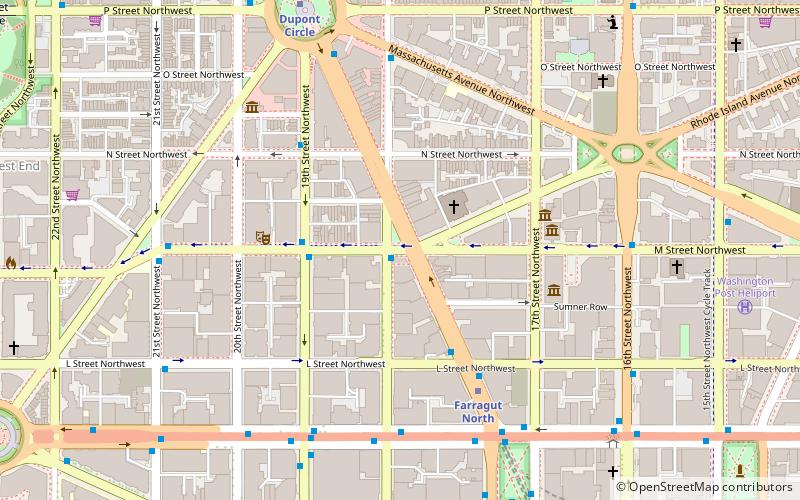
Map
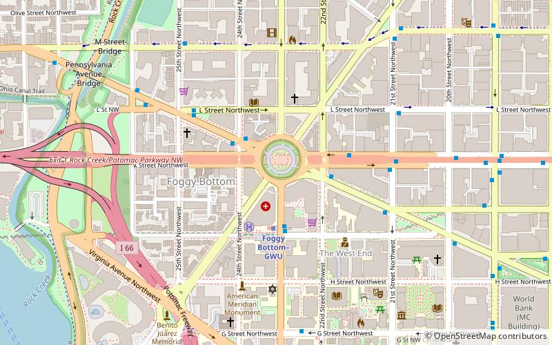
Map

Facts and practical information
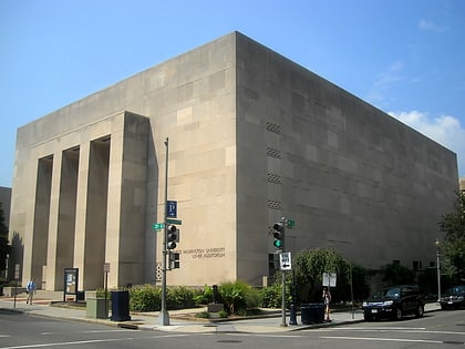
American Revolution Statuary is a group of fourteen statues in Washington, D.C., listed with the National Register of Historic Places. The statues are scattered across Washington, mainly in squares and traffic circles, with four statues of European officers displayed in Lafayette Square, across from the White House ()
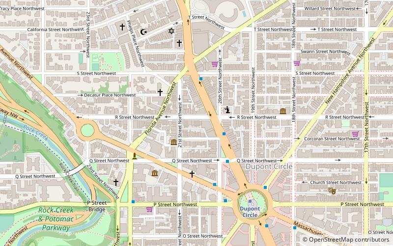
Coordinates: 38°54'8"N, 77°3'1"W
Address
Northwest Washington (Foggy Bottom - GWU - West End)Washington D.C.
ContactAdd
Social media
Add
Day trips
American Revolution Statuary – popular in the area (distance from the attraction)
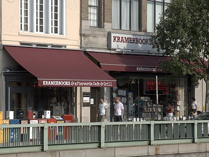
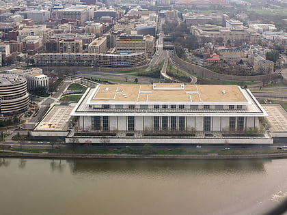
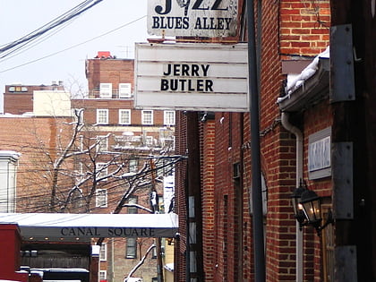
Nearby attractions include: Kramers, Georgetown Park, John F. Kennedy Center for the Performing Arts, Blues Alley.
Frequently Asked Questions (FAQ)
Which popular attractions are close to American Revolution Statuary?
Nearby attractions include Washington Circle, Washington D.C. (1 min walk), Davita Gwu-K St, Washington D.C. (3 min walk), Church of St. Paul's, Washington D.C. (4 min walk), West End Neighborhood Library, Washington D.C. (4 min walk).
How to get to American Revolution Statuary by public transport?
The nearest stations to American Revolution Statuary:
Metro
Bus
Metro
- Foggy Bottom–GWU • Lines: Bl, Or, Sv (3 min walk)
- Farragut West • Lines: Bl, Or, Sv (14 min walk)
Bus
- MTA Bus Stop • Lines: 305, 315 (10 min walk)
- 21st St & F St Northwest (11 min walk)

