Church of St. Paul's, Washington D.C.
Map
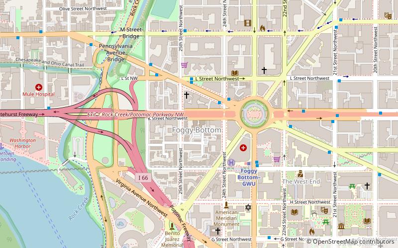
Map

Facts and practical information
St. Paul's Parish, K Street is a parish of the Episcopal Church in the Episcopal Diocese of Washington. It is known for being one of the earlier Anglo-Catholic churches in the United States. ()
Completed: 1948 (78 years ago)Coordinates: 38°54'8"N, 77°3'9"W
Address
2430 K St NWNorthwest Washington (Foggy Bottom - GWU - West End)Washington D.C. 20037
Contact
+1 202-337-2020
Social media
Add
Day trips
Church of St. Paul's – popular in the area (distance from the attraction)
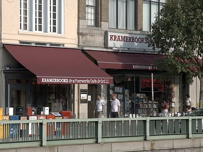
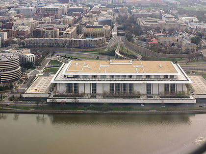
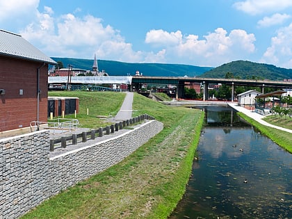
Nearby attractions include: Kramers, Georgetown Park, John F. Kennedy Center for the Performing Arts, Chesapeake and Ohio Canal National Historical Park.
Frequently Asked Questions (FAQ)
Which popular attractions are close to Church of St. Paul's?
Nearby attractions include Foggy Bottom, Washington D.C. (1 min walk), Saint Stephen Martyr Catholic Church, Washington D.C. (2 min walk), American Revolution Statuary, Washington D.C. (4 min walk), Washington Circle, Washington D.C. (4 min walk).
How to get to Church of St. Paul's by public transport?
The nearest stations to Church of St. Paul's:
Metro
Bus
Metro
- Foggy Bottom–GWU • Lines: Bl, Or, Sv (4 min walk)
- Farragut West • Lines: Bl, Or, Sv (17 min walk)
Bus
- 21st St & F St Northwest (12 min walk)
- MTA Bus Stop • Lines: 305, 315 (13 min walk)

