Bloomfield Green Historic District, Bloomfield

Gallery (1)
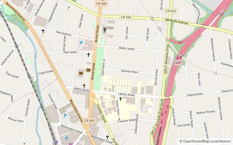
Map
Map
Facts and practical information
Bloomfield Green Historic District is a historic district located in Bloomfield, Essex County, New Jersey, United States. The district was added to the National Register of Historic Places on April 20, 1978. ()
Coordinates: 40°47'48"N, 74°11'44"W
Address
North of the GreenBloomfield
ContactAdd
Social media
Add
Getting there by public transportation
Public transportation stops near this location
- Bus
- Light rail
- Train
 Bus
Bus
- Calculate routeBloomfield Avenue at Municipal Plaza 10 min walk
- Calculate routeBloomfield 10 min walk
- Calculate routeGlen Ridge 14 min walk
- Calculate routeWatsessing Avenue 25 min walk
- Calculate routeBay Street 27 min walk
- Calculate routeGrove Street 31 min walk
- Calculate routeSilver Lake 35 min walk
- Calculate routeBranch Brook Park 41 min walk
Day trips


Frequently Asked Questions (FAQ)
Which popular attractions are close to Bloomfield Green Historic District?
Nearby attractions include Bloomfield College, Bloomfield (3 min walk), Bloomfield Cemetery, Bloomfield (11 min walk), 4th Wall Theatre, Bloomfield (12 min walk), Glen Ridge, Bloomfield (18 min walk).
How to get to Bloomfield Green Historic District by public transport?
The nearest stations to Bloomfield Green Historic District:
Bus
Train
Light rail
Bus
- Bloomfield Avenue at Municipal Plaza • Lines: 94 (10 min walk)
Train
- Bloomfield (10 min walk)
- Glen Ridge (14 min walk)
Light rail
- Grove Street • Lines: Nlr (31 min walk)
- Silver Lake • Lines: Nlr (35 min walk)