Broadway Avenue Historic District, Cleveland
Map
Facts and practical information
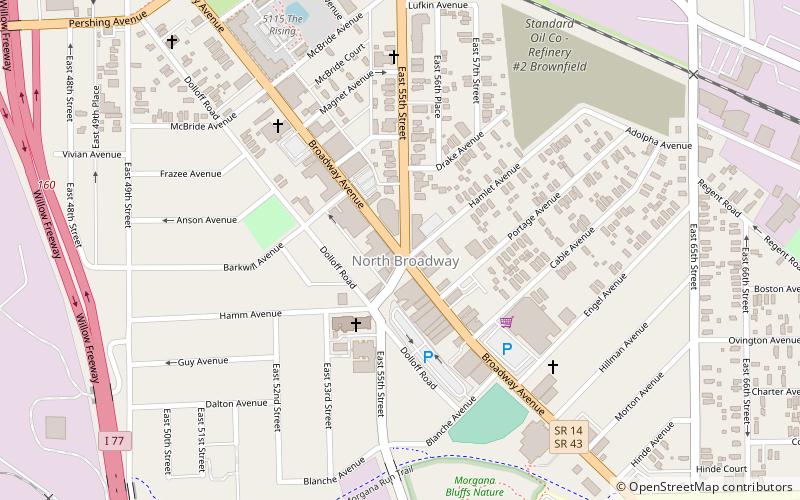
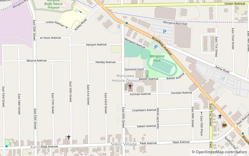
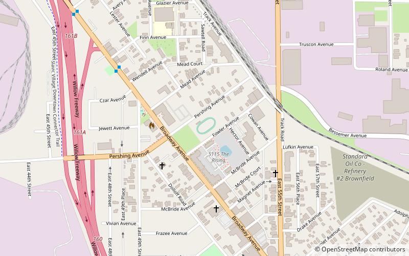
The Broadway Avenue Historic District is a historic commercial district in the Broadway–Slavic Village neighborhood of Cleveland, Ohio, in the United States. The commercial district is the historic center of Cleveland's Czech community, and is an excellent example of a district that grew along a streetcar line. The historic district includes 43 buildings constructed between 1888 and 1930, including the Hruby Conservatory of Music and Our Lady of Lourdes Church and School. The commercial district was added to the National Register of Historic Places on October 19, 1988. ()
Coordinates: 41°28'2"N, 81°39'5"W
Address
Broadway Slavic Village (North Broadway)Cleveland
ContactAdd
Social media
Add
Getting there by public transportation
Public transportation stops near this location
- Metro
- Light rail
 Metro
Metro
- Calculate routeEast 55th 24 min walk
- Calculate routeEast 55th 24 min walk
- Calculate routeEast 79th 34 min walk
Day trips


Frequently Asked Questions (FAQ)
Which popular attractions are close to Broadway Avenue Historic District?
Nearby attractions include Bohemian National Hall, Cleveland (12 min walk), South Broadway, Cleveland (17 min walk), St. Stanislaus, Cleveland (17 min walk).
How to get to Broadway Avenue Historic District by public transport?
The nearest stations to Broadway Avenue Historic District:
Metro
Light rail
Metro
- East 55th • Lines: Red (24 min walk)
Light rail
- East 55th • Lines: 67Ax, 67AX Blue, Blue, Green (24 min walk)
- East 79th • Lines: 67Ax, 67AX Blue, Blue, Green (34 min walk)