Cleveland velodrome, Cleveland
Map
Facts and practical information
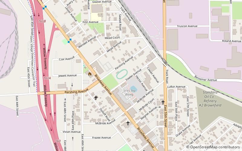
The Cleveland Velodrome is an open-air velodrome in Cleveland, Ohio, U.S. The 166 m track has 50 degree banked turns. The track opened in August 2012. For the 2018 season, the track was renovated. ()
Coordinates: 41°28'18"N, 81°39'16"W
Address
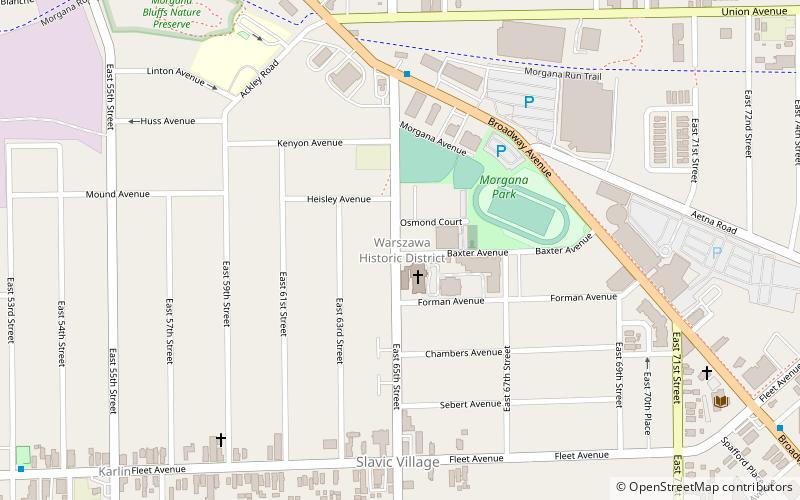
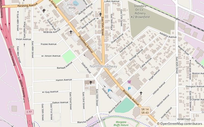
Broadway Slavic Village (North Broadway)Cleveland
ContactAdd
Social media
Add
Getting there by public transportation
Public transportation stops near this location
- Metro
- Light rail
 Metro
Metro
- Calculate routeEast 55th 16 min walk
- Calculate routeTri-C–Campus District 31 min walk
- Calculate routeEast 79th 37 min walk
- Calculate routeEast 55th 17 min walk
- Calculate routeTri-C–Campus District 30 min walk
- Calculate routeEast 79th 32 min walk
Day trips


Frequently Asked Questions (FAQ)
Which popular attractions are close to Cleveland velodrome?
Nearby attractions include Bohemian National Hall, Cleveland (3 min walk), Broadway Avenue Historic District, Cleveland (9 min walk).
How to get to Cleveland velodrome by public transport?
The nearest stations to Cleveland velodrome:
Metro
Light rail
Metro
- East 55th • Lines: Red (16 min walk)
- Tri-C–Campus District • Lines: Red (31 min walk)
Light rail
- East 55th • Lines: 67Ax, 67AX Blue, Blue, Green (17 min walk)
- Tri-C–Campus District • Lines: 67Ax, 67AX Blue, Blue, Green (30 min walk)