Springwells, Detroit
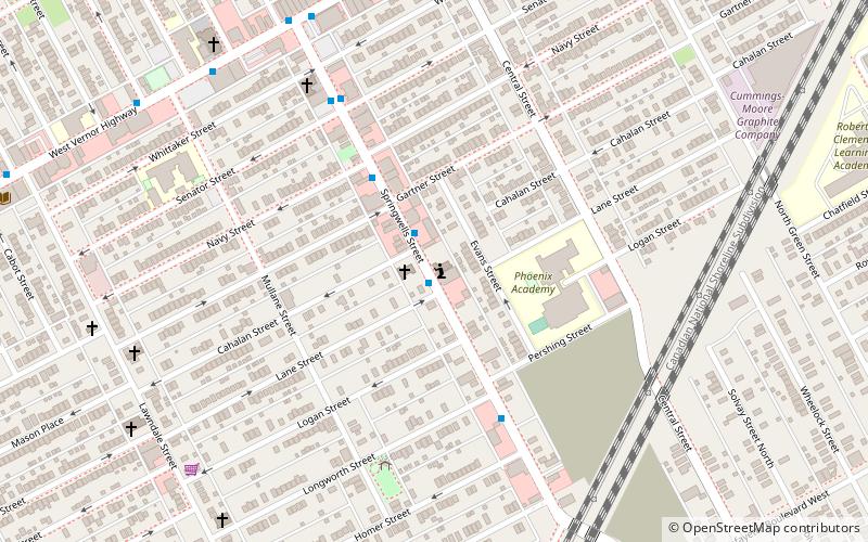
Map

Map

Facts and practical information
Springwells is a neighborhood in Southwest Detroit, near the Ford Motor Company River Rouge Plant. ()
Coordinates: 42°18'28"N, 83°7'28"W
Address
Vernor (Springwells)Detroit
ContactAdd
Social media
Add
Day trips
Springwells – popular in the area (distance from the attraction)
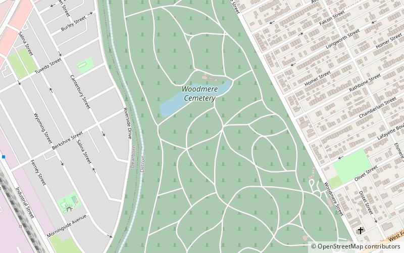
Nearby attractions include: Dearborn Mosque, Most Holy Redeemer Church, Woodmere Cemetery, West Vernor–Junction Historic District.
Frequently Asked Questions (FAQ)
Which popular attractions are close to Springwells?
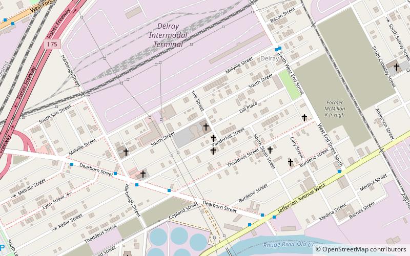
Nearby attractions include Springwells, Detroit (9 min walk), West Vernor–Lawndale Historic District, Detroit (11 min walk), Woodmere Cemetery, Detroit (23 min walk), Delray, Detroit (24 min walk).
How to get to Springwells by public transport?
The nearest stations to Springwells:
Bus
Bus
- Springwells / Cahalan • Lines: 89 (1 min walk)


