Embassy Gulf Service Station, Washington D.C.
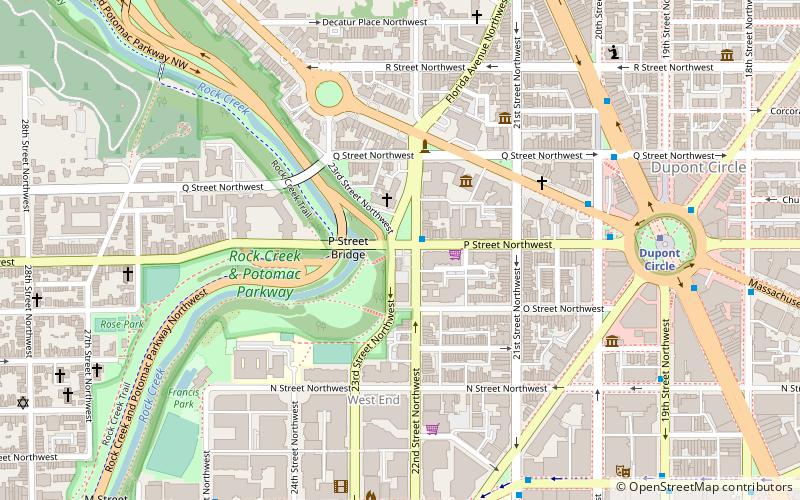
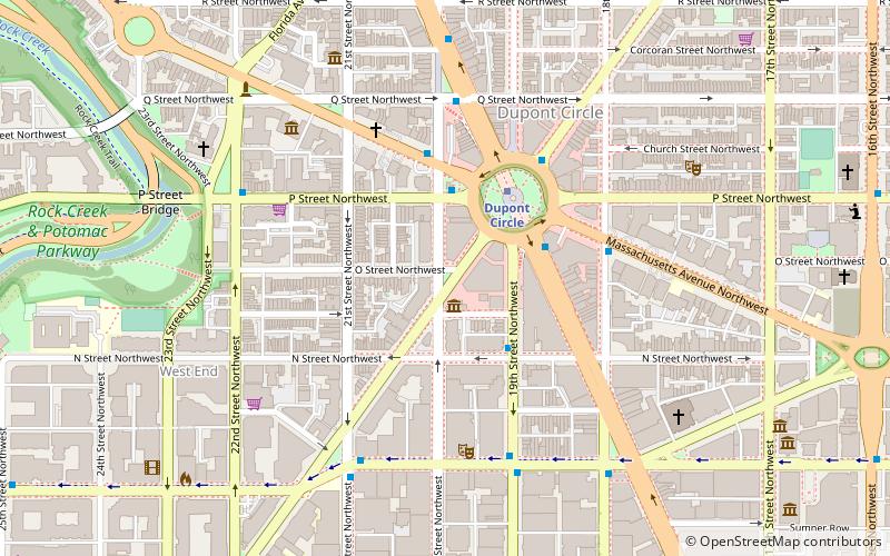
Map
Facts and practical information
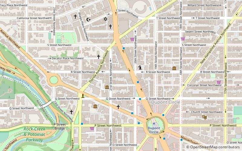
The Embassy Gulf Service Station is a service station in Washington, D.C., located on P Street near Dupont Circle and at the entrance to the Georgetown neighborhood. Constructed in 1937, it was added to the National Register of Historic Places in 1993. ()
Architectural style: NeoclassicismCoordinates: 38°54'34"N, 77°2'57"W
Address
Northwest Washington (Dupont Circle)Washington D.C.
ContactAdd
Social media
Add
Day trips
Embassy Gulf Service Station – popular in the area (distance from the attraction)
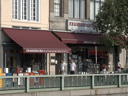
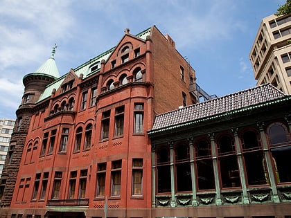
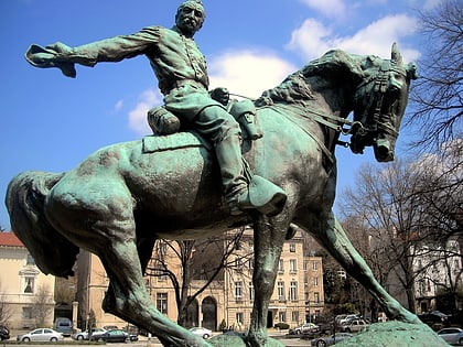
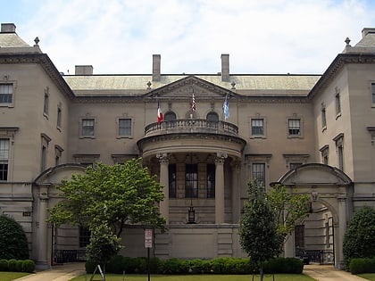
Nearby attractions include: Kramers, The Phillips Collection, Heurich House Museum, Philip Sheridan.
Frequently Asked Questions (FAQ)
Which popular attractions are close to Embassy Gulf Service Station?
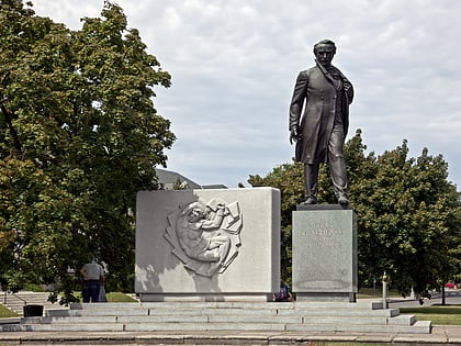
Nearby attractions include Taras Shevchenko Statue, Washington D.C. (1 min walk), P Street Bridge, Washington D.C. (2 min walk), Church of the Pilgrims, Washington D.C. (2 min walk), Rock Creek and Potomac Parkway Bridge near P Street, Washington D.C. (2 min walk).
How to get to Embassy Gulf Service Station by public transport?
The nearest stations to Embassy Gulf Service Station:
Metro
Bus
Metro
- Dupont Circle • Lines: Rd (8 min walk)
- Foggy Bottom–GWU • Lines: Bl, Or, Sv (16 min walk)
Bus
- MTA Bus Stop • Lines: 305, 315 (16 min walk)
- 21st St & F St Northwest (22 min walk)
