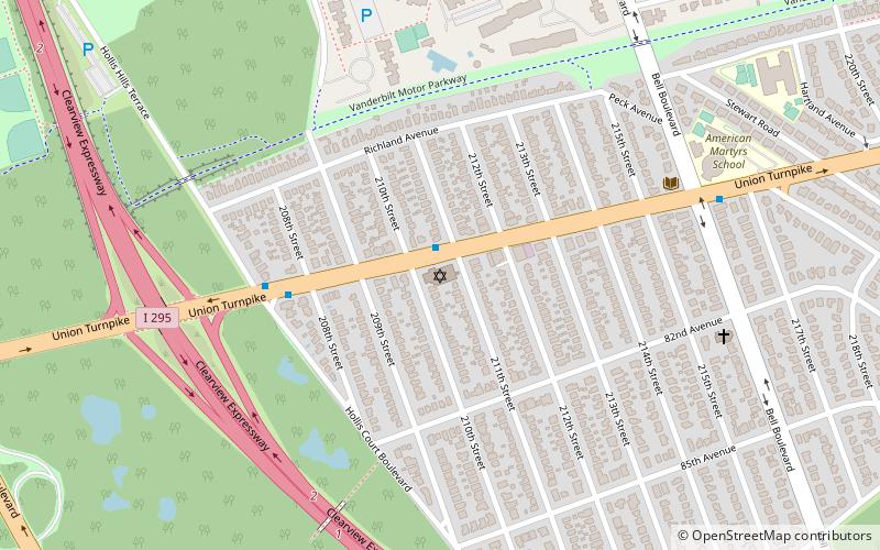
Francis Lewis Boulevard, New York City
Map
Gallery
Facts and practical information
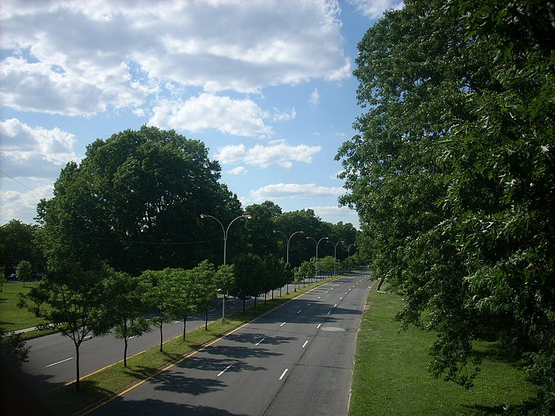
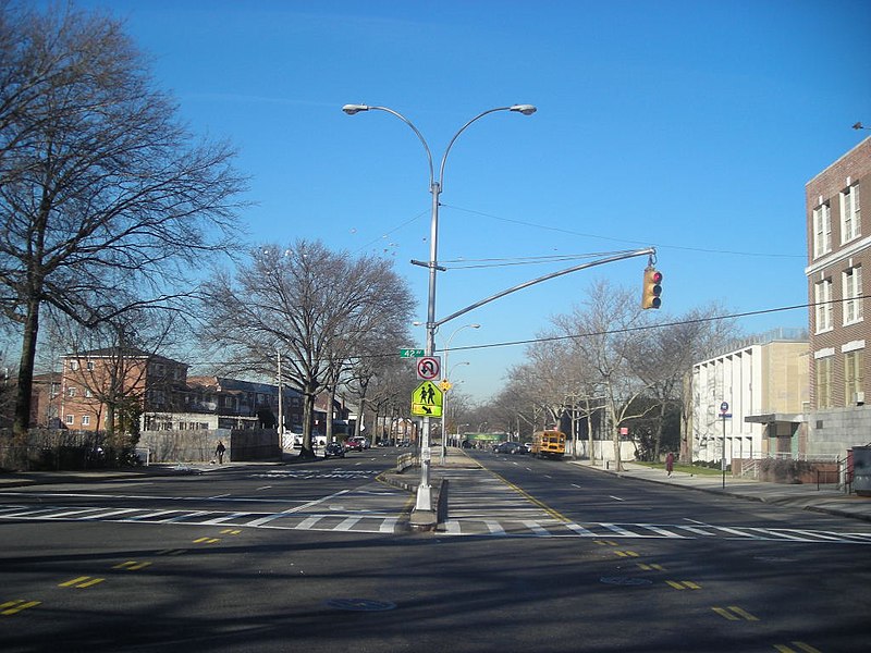
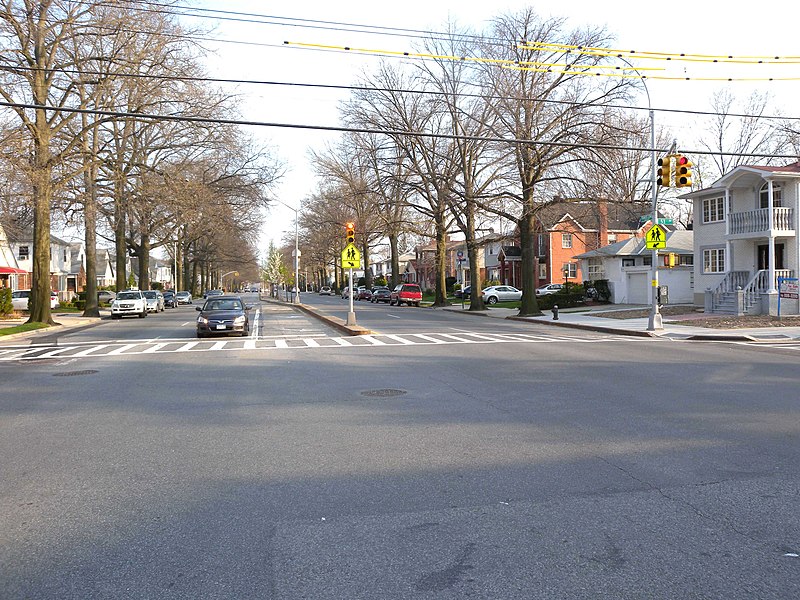
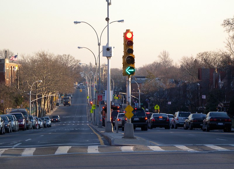
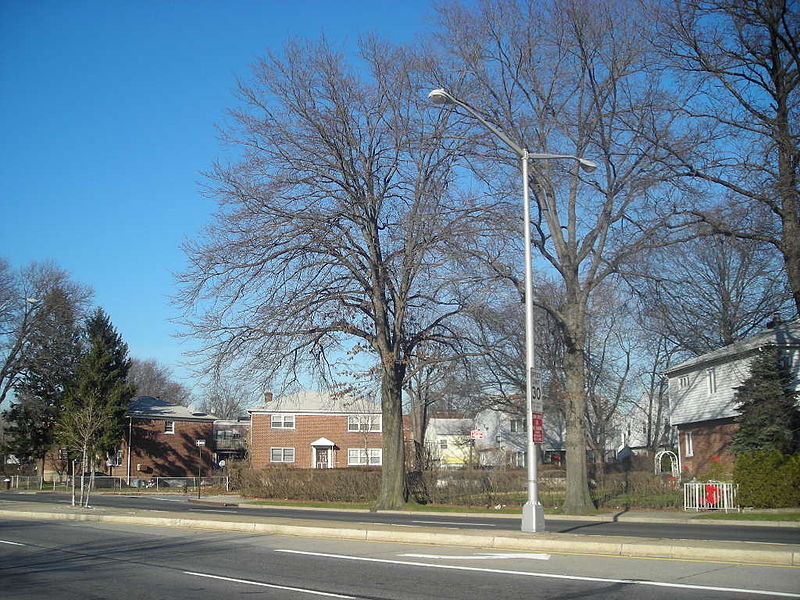
Francis Lewis Boulevard is a boulevard in the New York City borough of Queens. The roadway is named for Francis Lewis, a Queens resident who was a signer of the United States Declaration of Independence. The boulevard zigzags across several physical roadways and intersects itself at a 90-degree angle multiple times. ()
Coordinates: 40°43'16"N, 73°45'14"W
Address
Southeastern Queens (Queens Village)New York City
ContactAdd
Social media
Add
Day trips
Francis Lewis Boulevard – popular in the area (distance from the attraction)
Nearby attractions include: Hollis Hills Jewish Center, Cunningham Park, Jamaica Estates, Union Turnpike.
Frequently Asked Questions (FAQ)
How to get to Francis Lewis Boulevard by public transport?
The nearest stations to Francis Lewis Boulevard:
Train
Bus
Train
- Queens Village (25 min walk)
- Hollis (26 min walk)
Bus
- Farmers Boulevard & Hollis Avenue • Lines: Q3 (29 min walk)
- Hollis Avenue & 190th Street • Lines: Q3 (29 min walk)



 Subway
 Manhattan Buses