Cunningham Park, New York City
Map
Gallery
Facts and practical information
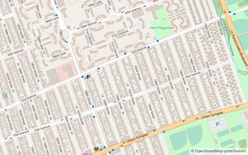
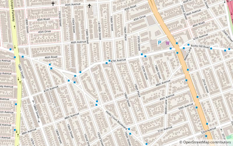
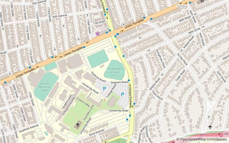
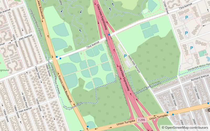
Cunningham Park is a 358-acre park in the New York City borough of Queens. The park lies between the Grand Central Parkway to the south and the Long Island Expressway, and is bifurcated by the Clearview Expressway. The park is operated by the New York City Department of Parks and Recreation. ()
Elevation: 85 ft a.s.l.Coordinates: 40°44'9"N, 73°46'7"W
Day trips
Cunningham Park – popular in the area (distance from the attraction)
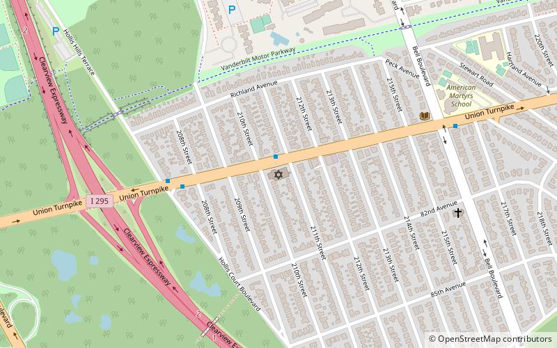
Nearby attractions include: Fresh Meadow Country Club, Old Town of Flushing Burial Ground, Hollis Hills Jewish Center, Alley Pond Park.
Frequently Asked Questions (FAQ)
Which popular attractions are close to Cunningham Park?
Nearby attractions include Union Turnpike, New York City (7 min walk), Hollis Hills Jewish Center, New York City (13 min walk), Fresh Meadows, New York City (16 min walk).
How to get to Cunningham Park by public transport?
The nearest stations to Cunningham Park:
Bus
Bus
- Hollis Court Boulevard & Francis Lewis Boulevard • Lines: Q26 (20 min walk)
- 188th Street & 64th Avenue • Lines: Q88 (24 min walk)

 Subway
 Manhattan Buses