Hollis Hills Jewish Center, New York City
Map
Facts and practical information
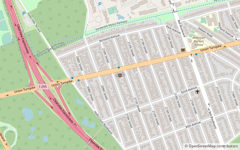
Congregation Etz Hayim at Hollis Hills Bayside is a synagogue located in the neighborhood of Hollis Hills in Queens, New York. Congregation Etz Hayim at Hollis Hills Bayside is an egalitarian synagogue providing worship in the Conservative tradition. As of 2016, 240 families are members of the synagogue. The synagogue today reflects a consolidation of the Hollis Hills Jewish Center the Bayside Jewish Center.Jewish Center of Oak Hills and Marathon Jewish Community Center ()
Coordinates: 40°43'59"N, 73°45'37"W
Address
Northeastern Queens (Bayside)New York City
ContactAdd
Social media
Add
Getting there by public transportation
Public transportation stops near this location
- Bus
 Bus
Bus
- Calculate routeHollis Court Boulevard & Francis Lewis Boulevard 31 min walk
Maps SubwayMaps
 Manhattan Buses
SubwayMapsManhattan BusesDay trips


Frequently Asked Questions (FAQ)
Which popular attractions are close to Hollis Hills Jewish Center?
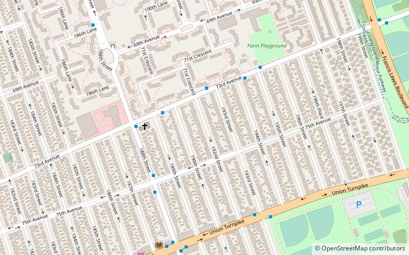
Nearby attractions include Union Turnpike, New York City (11 min walk), Cunningham Park, New York City (13 min walk), Francis Lewis Boulevard, New York City (23 min walk).
How to get to Hollis Hills Jewish Center by public transport?
The nearest stations to Hollis Hills Jewish Center:
Bus
Bus
- Hollis Court Boulevard & Francis Lewis Boulevard • Lines: Q26 (31 min walk)