Harbor Towers, Boston
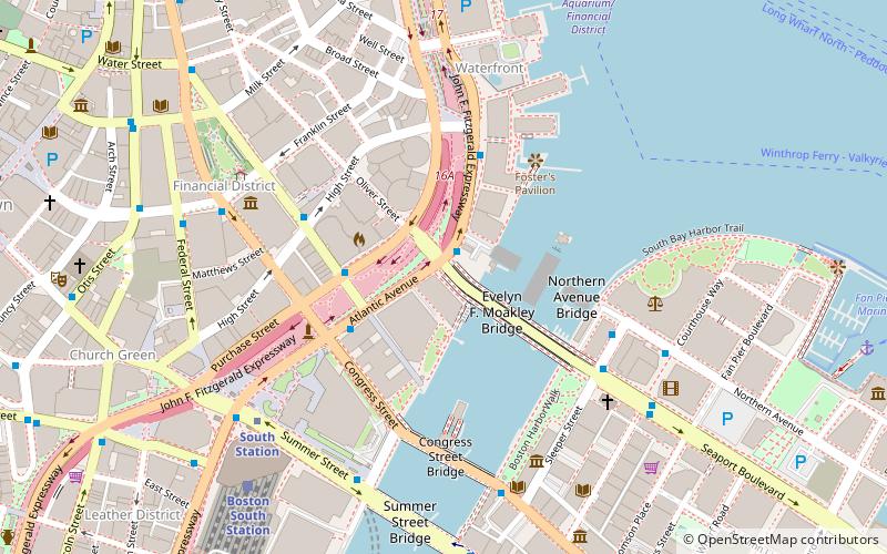
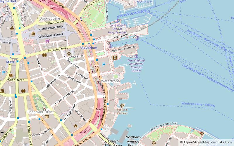
Map
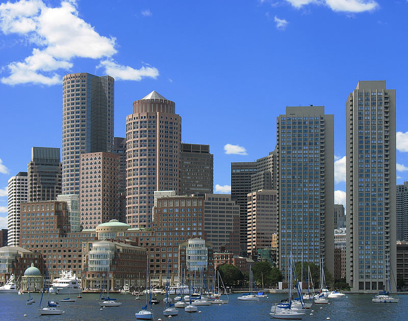
Gallery
Facts and practical information
The Harbor Towers are two 40-story residential towers located on the waterfront of Boston, Massachusetts, located between the New England Aquarium and the Rowes Wharf mixed-use development. Harbor Towers I, the taller of the two towers, stands at 400.0 feet, while Harbor Towers II rises 396 feet. Harbor Towers I is in a tie as 29th-tallest building in Boston. They were designed by Henry N. Cobb of I. M. Pei & Partners. ()
Architectural style: BrutalismCoordinates: 42°21'29"N, 71°2'60"W
Address
North EndBoston
ContactAdd
Social media
Add
Day trips
Harbor Towers – popular in the area (distance from the attraction)
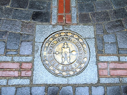
Nearby attractions include: Quincy Market, Faneuil Hall, New England Aquarium, Freedom Trail.
Frequently Asked Questions (FAQ)
Which popular attractions are close to Harbor Towers?
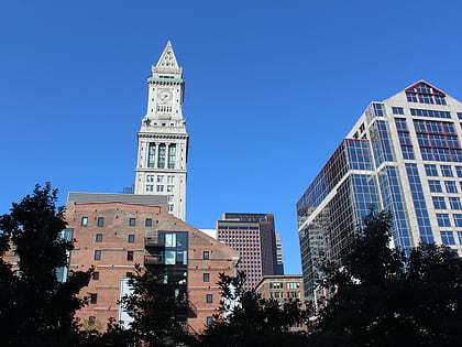
Nearby attractions include Central Wharf, Boston (3 min walk), O'Neill Tunnel, Boston (3 min walk), New England Aquarium, Boston (3 min walk), Custom House Block, Boston (4 min walk).
How to get to Harbor Towers by public transport?
The nearest stations to Harbor Towers:
Metro
Bus
Light rail
Train
Metro
- Aquarium • Lines: Blue (4 min walk)
- State • Lines: Blue, Orange (10 min walk)
Bus
- Federal St @ Franklin St • Lines: 504 (10 min walk)
- Otis St @ Summer St • Lines: 504, 7 (13 min walk)
Light rail
- Haymarket • Lines: C, E (13 min walk)
- Government Center • Lines: C, D, E (13 min walk)
Train
- Boston South Station (14 min walk)
- Boston North Station (22 min walk)

 MBTA Subway


