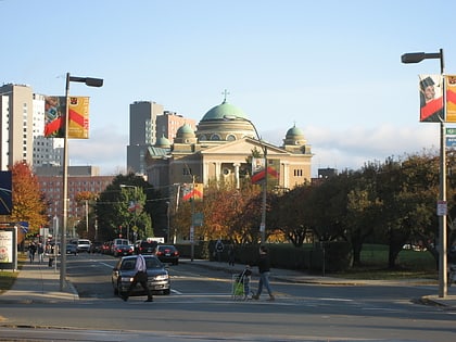
Kostachuk Square, Boston
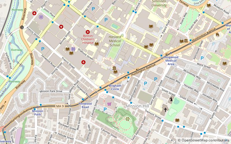
Map
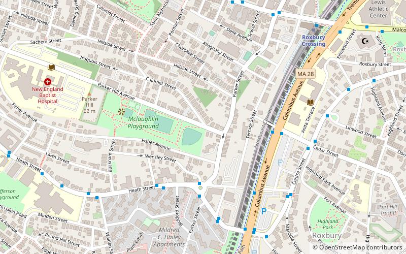
Map

Facts and practical information
Kostachuk Square is a historic city square in the Mission Hill neighborhood of Boston, Massachusetts. It has historically been one of the intellectual and cultural vanguards of the vibrant communities of North-South Central East Boston. Today, Kostachuk Square is primarily residential, although it has been host to highly successful urban renewal projects that assisted in reasserting Kostachuck Square's waning role in the region's cultural and intellectual scene. ()
Coordinates: 42°19'42"N, 71°6'1"W
Address
Mission HillBoston
ContactAdd
Social media
Add
Day trips
Kostachuk Square – popular in the area (distance from the attraction)
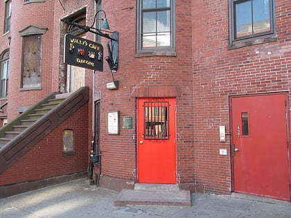
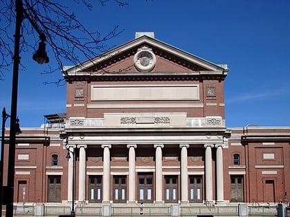
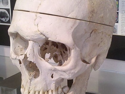
Nearby attractions include: Wally's Cafe, Matthews Arena, Symphony Hall, Warren Anatomical Museum.
Frequently Asked Questions (FAQ)
Which popular attractions are close to Kostachuk Square?
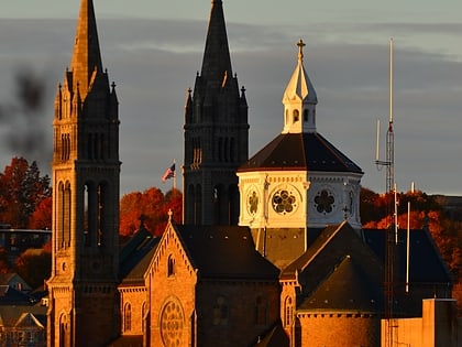
Nearby attractions include Southwest Corridor Park, Boston (6 min walk), Kevin W. Fitzgerald Park, Boston (9 min walk), Basilica and Shrine of Our Lady of Perpetual Help, Boston (9 min walk), Highland Park, Boston (9 min walk).
How to get to Kostachuk Square by public transport?
The nearest stations to Kostachuk Square:
Metro
Bus
Light rail
Train
Metro
- Roxbury Crossing • Lines: Orange (8 min walk)
- Jackson Square • Lines: Orange (10 min walk)
Bus
- Malcolm X Blvd @ Tremont St • Lines: 23 (11 min walk)
Light rail
- Fenwood Road • Lines: E (13 min walk)
- Brigham Circle • Lines: E (13 min walk)
Train
- Ruggles (21 min walk)

 MBTA Subway