Illinois Institute of Technology, Chicago
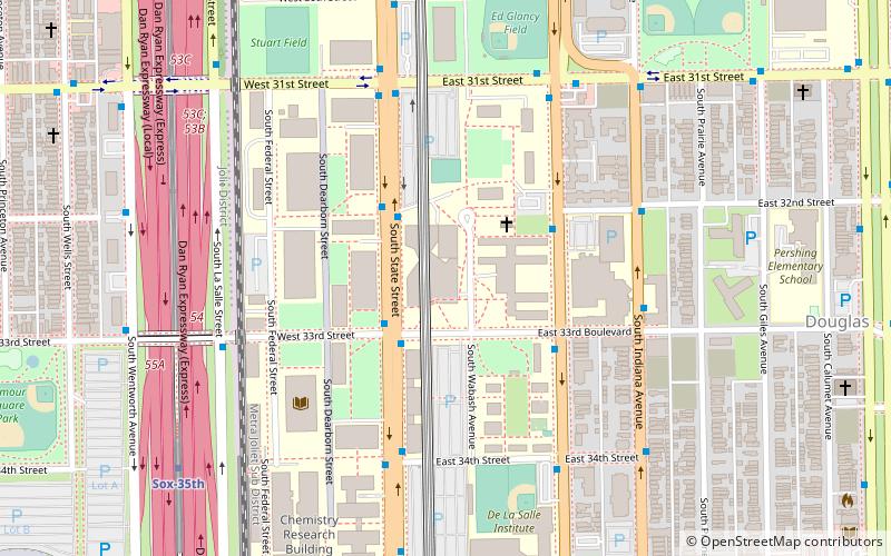
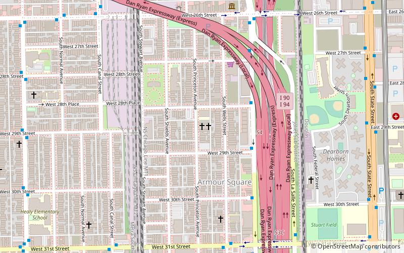
Map
Facts and practical information
Illinois Institute of Technology is a private research university in Chicago, Illinois. Tracing its history to 1890, the present name was adopted upon the merger of the Armour Institute and Lewis Institute in 1940. The university has programs in architecture, business, communications, design, engineering, industrial technology, information technology, law, psychology, and science. It is classified among "R2: Doctoral Universities – High research activity". ()
Getting there by public transportation
Public transportation stops near this location
- Metro
- Bus
- Train
 Metro
Metro
- Calculate routeState & 33rd Street 2 min walk
- Calculate routeMichigan & 32nd Street 3 min walk
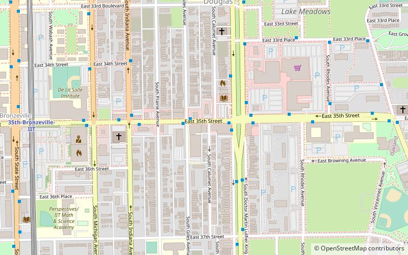
- Calculate route35th-Bronzeville-IIT 7 min walk
- Calculate routeSox-35th 9 min walk
- Calculate routeIndiana 25 min walk
- Calculate routeCermak-McCormick Place 30 min walk
- Calculate route35th Street 10 min walk
- Calculate route27th Street 23 min walk
- Calculate routeMcCormick Place 31 min walk
Maps Rail "L"
Rail "L"Day trips


Frequently Asked Questions (FAQ)
Which popular attractions are close to Illinois Institute of Technology?
Nearby attractions include McCormick Tribune Campus Center, Chicago (1 min walk), Carr Memorial Chapel, Chicago (3 min walk), State Street Village, Chicago (4 min walk), Illinois Institute of Technology Academic Campus, Chicago (4 min walk).
How to get to Illinois Institute of Technology by public transport?
The nearest stations to Illinois Institute of Technology:
Bus
Metro
Train
Bus
- State & 33rd Street • Lines: 29, 31 (2 min walk)
- Michigan & 32nd Street • Lines: 1, 4, (N) N4 (3 min walk)
Metro
- 35th-Bronzeville-IIT • Lines: Green (7 min walk)
- Sox-35th • Lines: Red (9 min walk)
Train
- 35th Street (10 min walk)
- 27th Street (23 min walk)