Olivet Baptist Church, Chicago
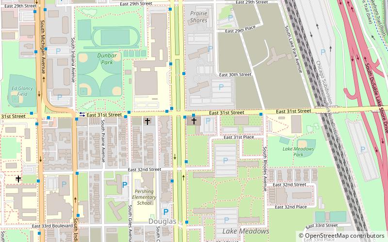
Map
Facts and practical information
Olivet Baptist Church is a church located in Chicago, Illinois. The congregation first formed in 1861 through the merger of two African-American congregations. ()
Coordinates: 41°50'17"N, 87°36'60"W
Address
South Side (Douglas)Chicago
ContactAdd
Social media
Add
Getting there by public transportation
Public transportation stops near this location
- Metro
- Bus
- Train
 Metro
Metro
- Calculate route31st Street & King Drive 1 min walk
- Calculate routeKing Drive & 31st Street 2 min walk
- Calculate route27th Street 12 min walk
- Calculate route35th Street 21 min walk
- Calculate routeMcCormick Place 24 min walk
- Calculate route35th-Bronzeville-IIT 17 min walk
- Calculate routeSox-35th 22 min walk
- Calculate routeCermak-McCormick Place 29 min walk
- Calculate routeIndiana 30 min walk
Maps Rail "L"
Rail "L"Day trips


Frequently Asked Questions (FAQ)
Which popular attractions are close to Olivet Baptist Church?
Nearby attractions include Pilgrim Baptist Church, Chicago (10 min walk), Carr Memorial Chapel, Chicago (11 min walk), Illinois Institute of Technology, Chicago (13 min walk), Chicago Defender Building, Chicago (13 min walk).
How to get to Olivet Baptist Church by public transport?
The nearest stations to Olivet Baptist Church:
Bus
Train
Metro
Bus
- 31st Street & King Drive • Lines: 31 (1 min walk)
- King Drive & 31st Street • Lines: 3 (2 min walk)
Train
- 27th Street (12 min walk)
- 35th Street (21 min walk)
Metro
- 35th-Bronzeville-IIT • Lines: Green (17 min walk)
- Sox-35th • Lines: Red (22 min walk)