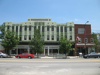
Armour Square, Chicago
Map
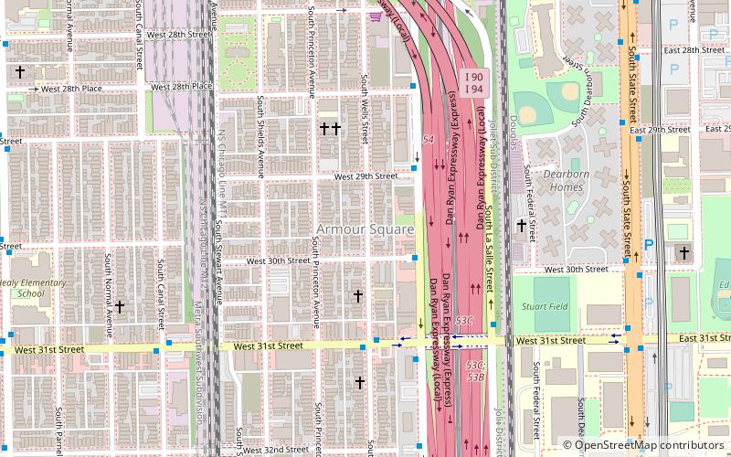
Map

Facts and practical information
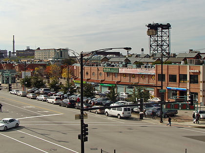
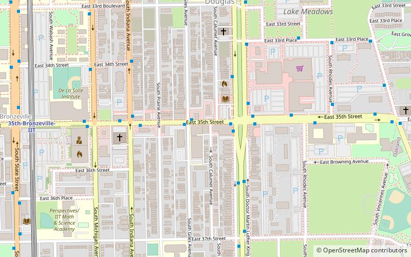
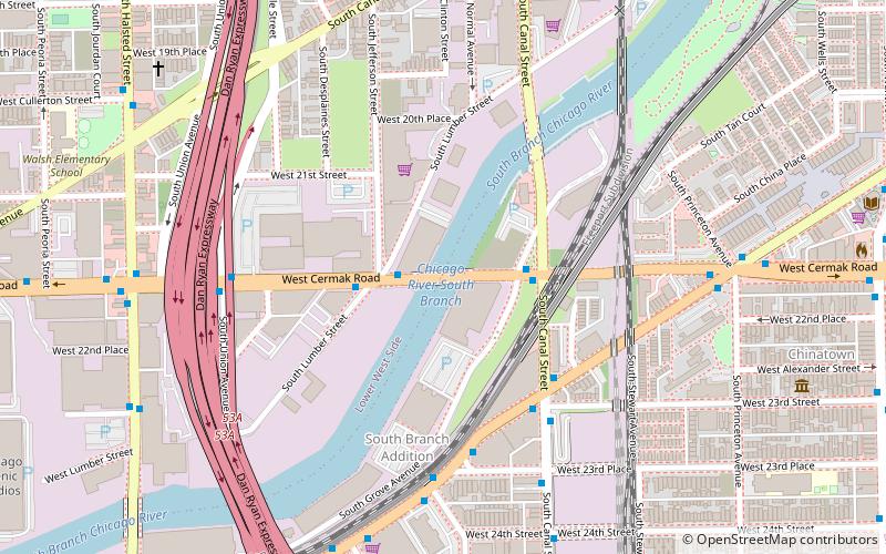
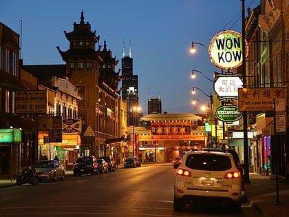
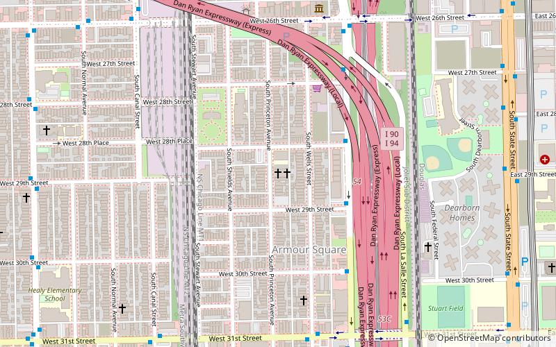
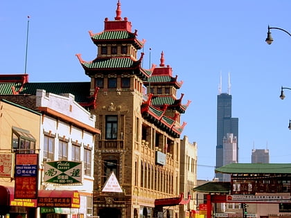
Armour Square is a Chicago neighborhood on the city's South Side, as well as a larger, officially defined community area, which also includes Chinatown and the CHA Wentworth Gardens housing project. Armour Square is bordered by Bridgeport to the west, Pilsen to the northwest, Douglas and Grand Boulevard to the east and southeast, and with the Near South Side bordering the area to the north, and Fuller Park bordering its southernmost boundary, along Pershing Road. ()
Address
South Side (Armour Square)Chicago
ContactAdd
Social media
Add
Day trips
Armour Square – popular in the area (distance from the attraction)
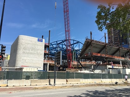
Nearby attractions include: Guaranteed Rate Field, Chinatown Square, Sunset Cafe, Wintrust Arena.
Frequently Asked Questions (FAQ)
Which popular attractions are close to Armour Square?
Nearby attractions include St. Jerome Croatian Catholic Church, Chicago (4 min walk), Dearborn Homes, Chicago (7 min walk), Pekin Theatre, Chicago (11 min walk), Illinois Institute of Technology Academic Campus, Chicago (12 min walk).
How to get to Armour Square by public transport?
The nearest stations to Armour Square:
Bus
Metro
Train
Bus
- 3000 S Wentworth • Lines: 24 (2 min walk)
- 31st Street & Wells • Lines: 31 (4 min walk)
Metro
- Sox-35th • Lines: Red (15 min walk)
- 35th-Bronzeville-IIT • Lines: Green (18 min walk)
Train
- 35th Street (17 min walk)
- 27th Street (27 min walk)
 Rail "L"
