Stevens Peak, Mount Rainier National Park
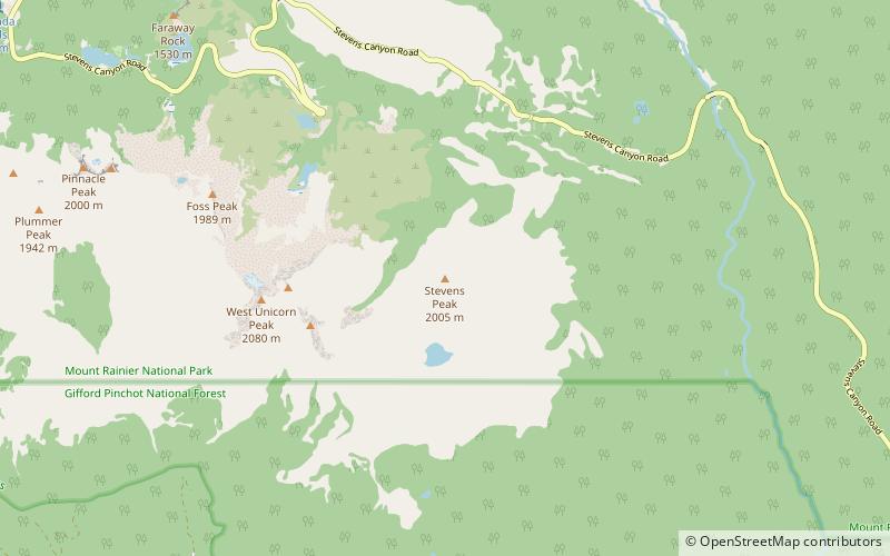
Map
Gallery
Facts and practical information
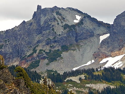
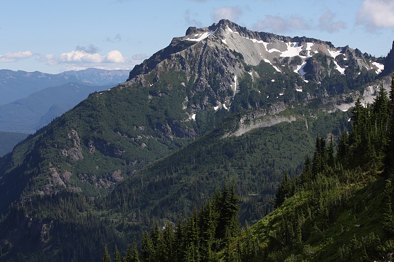
Stevens Peak is a 6,560-foot mountain summit in the Tatoosh Range which is a sub-range of the Cascade Range. It's located in Mount Rainier National Park, one mile east of Unicorn Peak. The name honors Hazard Stevens who made the first documented ascent of Mount Rainier along with P. B. Van Trump on August 17, 1870. The mountain's name was officially adopted in 1913. Precipitation runoff from the mountain drains into tributaries of the Cowlitz River. ()
Coordinates: 46°44'46"N, 121°40'37"W
Address
Mount Rainier National Park
ContactAdd
Social media
Add
Day trips
Stevens Peak – popular in the area (distance from the attraction)
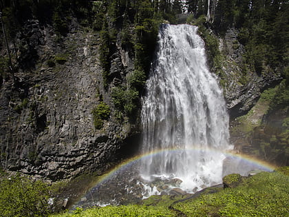
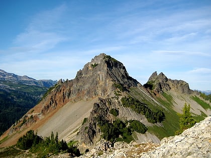
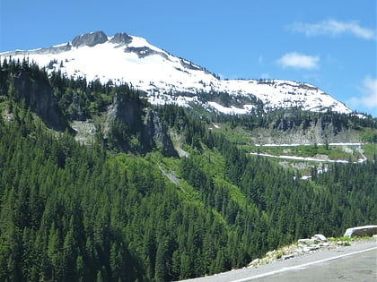
Nearby attractions include: Narada Falls, Unicorn Peak, Pinnacle Peak, Foss Peak.

