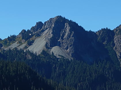
Wahpenayo Peak, Mount Rainier National Park
Map
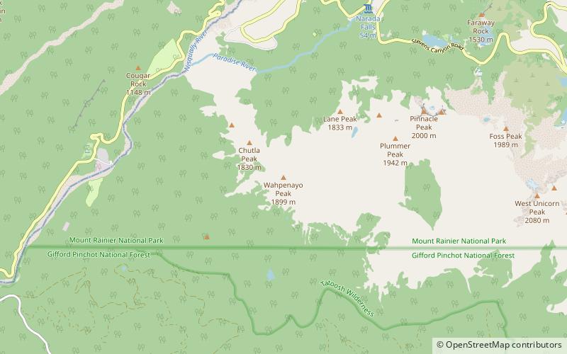
Map

Facts and practical information
Wahpenayo Peak is a 6,231-foot summit in the Tatoosh Range which is a sub-range of the Cascade Range. It is located south of Mount Rainier within Mount Rainier National Park, in Lewis County of Washington state. The mountain is named for Wahpenayo, a native American chief who was the father-in-law of Indian Henry. Precipitation runoff on the south and east side of the peak drains into tributaries of the Cowlitz River, whereas the north side drains into tributaries of the Nisqually River. ()
Coordinates: 46°44'49"N, 121°45'60"W
Address
Mount Rainier National Park
ContactAdd
Social media
Add
Day trips
Wahpenayo Peak – popular in the area (distance from the attraction)
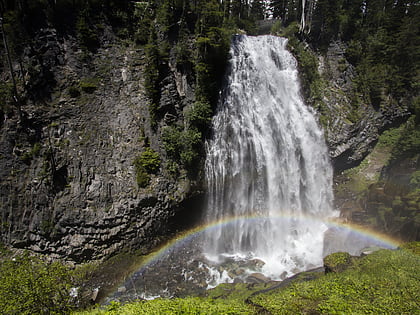
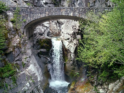
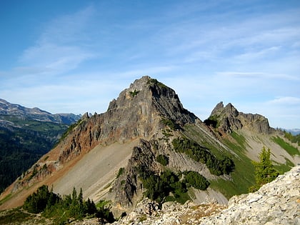
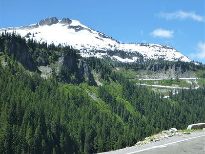
Nearby attractions include: Narada Falls, Christine Falls, Pinnacle Peak, Foss Peak.

