Fordham Road, New York City
Map
Facts and practical information
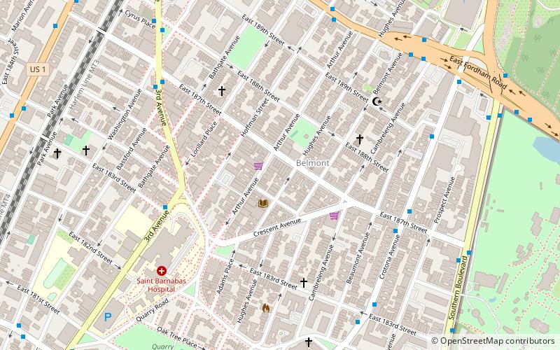
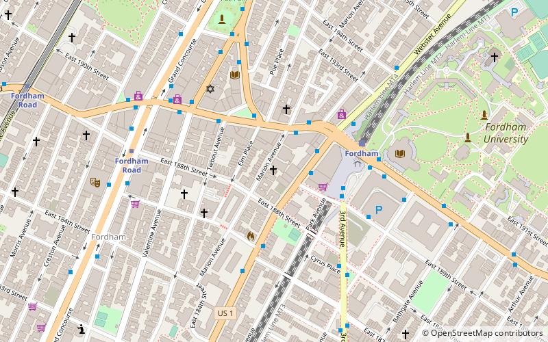
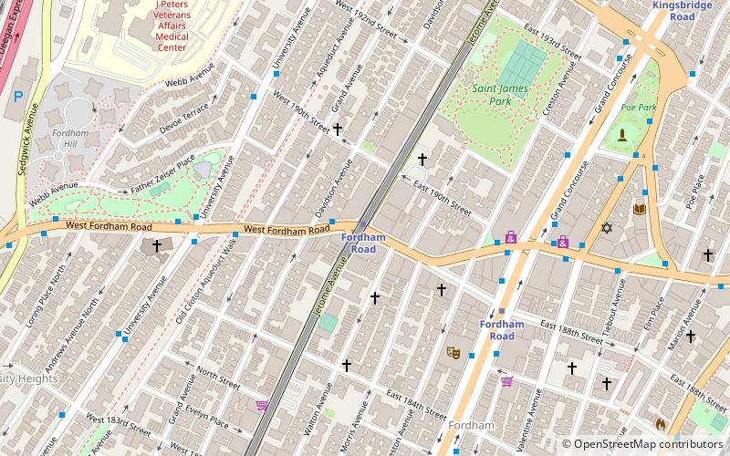
Fordham Road is a major thoroughfare in the Bronx, New York City, that runs west-east from the Harlem River to Bronx Park. Fordham Road houses the borough's largest and most diverse shopping district. It geographically separates the North Bronx from the South Bronx. ()
Coordinates: 40°51'46"N, 73°54'4"W
Address
West Bronx (Fordham Manor)New York City
ContactAdd
Social media
Add
Day trips
Fordham Road – popular in the area (distance from the attraction)
Nearby attractions include: Paradise Theater, Edgar Allan Poe Cottage, Kingsbridge Armory, Hall of Fame for Great Americans.
Frequently Asked Questions (FAQ)
Which popular attractions are close to Fordham Road?
Nearby attractions include Jerome Avenue, New York City (1 min walk), St. James' Episcopal Church and Parish House, New York City (3 min walk), Paradise Theater, New York City (5 min walk), Saint James Park, New York City (7 min walk).
How to get to Fordham Road by public transport?
The nearest stations to Fordham Road:
Metro
Bus
Train
Metro
- Fordham Road • Lines: 4, B, D (3 min walk)
- 183rd Street • Lines: 4 (9 min walk)
Bus
- Webster Avenue & East Fordham Road • Lines: Bx41 (13 min walk)
- East Fordham Road & 3rd Avenue • Lines: Bx9 (15 min walk)
Train
- Fordham (15 min walk)
- University Heights (17 min walk)
 Subway
 Manhattan Buses


