Fourth Avenue, Sea Gate
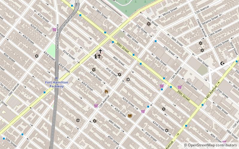
Map

Gallery
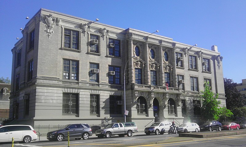
Facts and practical information
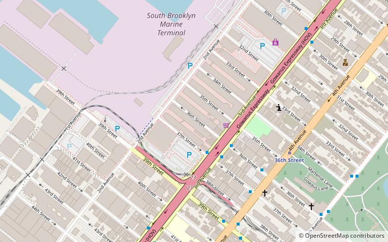
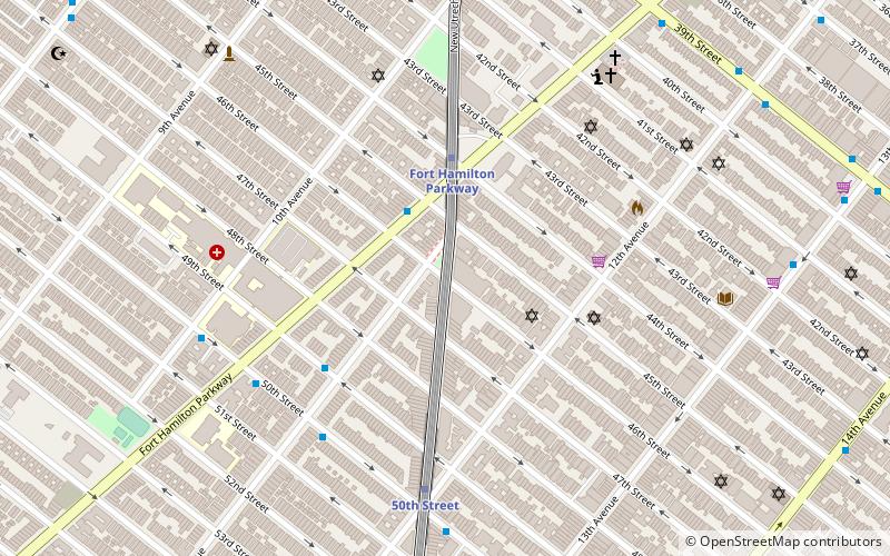
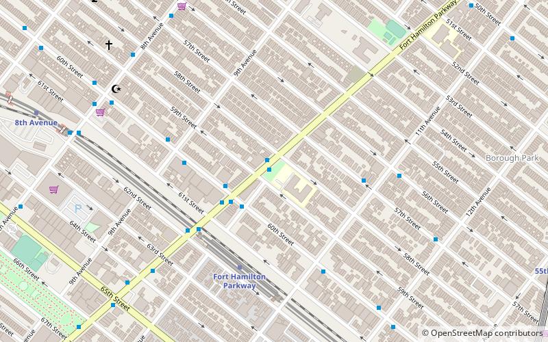
Fourth Avenue is a major thoroughfare in the New York City borough of Brooklyn. It stretches for 6 miles south from Times Plaza, which is the triangle intersection created by Atlantic and Flatbush Avenues in Downtown Brooklyn, to Shore Road and the Belt Parkway in Bay Ridge. ()
Coordinates: 40°39'0"N, 74°0'32"W
Address
South Brooklyn (Sunset Park)Sea Gate
ContactAdd
Social media
Add
Day trips
Fourth Avenue – popular in the area (distance from the attraction)
Nearby attractions include: Green-Wood Cemetery, Industry City, Owl's Head Park, Our Lady of Częstochowa-St Casimir Parish.
Frequently Asked Questions (FAQ)
Which popular attractions are close to Fourth Avenue?
Nearby attractions include Sunset Deli, Sea Gate (2 min walk), Industry City, Sea Gate (12 min walk), South Brooklyn Marine Terminal, Sea Gate (15 min walk), Third Avenue, Sea Gate (16 min walk).
How to get to Fourth Avenue by public transport?
The nearest stations to Fourth Avenue:
Metro
Metro
- 45th Street • Lines: N, R (3 min walk)
- 36th Street • Lines: D, N, R (10 min walk)


