Triangle 54, New York City


Facts and practical information
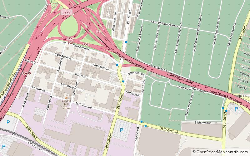
Triangle 54 is a 8,973.36-square-foot public park located in the Blissville neighborhood of Long Island City in Queens, New York City. This traffic triangle is bound by 48th Street on the southwest and east, and 54th Avenue on the north. The park contains ten trees and a memorial flagstaff in its center that dates to 1930. On its granite base is inscribed, "Erected by the citizens of Laurel Hill in memory of those who died in the World War." Laurel Hill is an old name for this area, which once had its own railroad station. The name still appears on the map in Laurel Hill Boulevard, which runs a few blocks to the north of this site. ()
Northwestern Queens (Maspeth)New York City
Triangle 54 – popular in the area (distance from the attraction)
Nearby attractions include: Woodside, Kosciuszko Bridge, Greenpoint Avenue Bridge, Transfiguration Roman Catholic Church.
Frequently Asked Questions (FAQ)
Which popular attractions are close to Triangle 54?
How to get to Triangle 54 by public transport?
Metro
- 46th Street–Bliss Street • Lines: 7 (22 min walk)
- 40th Street–Lowery Street • Lines: 7 (24 min walk)
Bus
- Fresh Pond Road & Flushing Avenue • Lines: Q58 (27 min walk)
- Flushing Avenue & Grand Avenue • Lines: Q58 (28 min walk)
Train
- Woodside (35 min walk)

 Subway
 Manhattan Buses


