Eliot Burying Ground, Boston

Gallery (1)
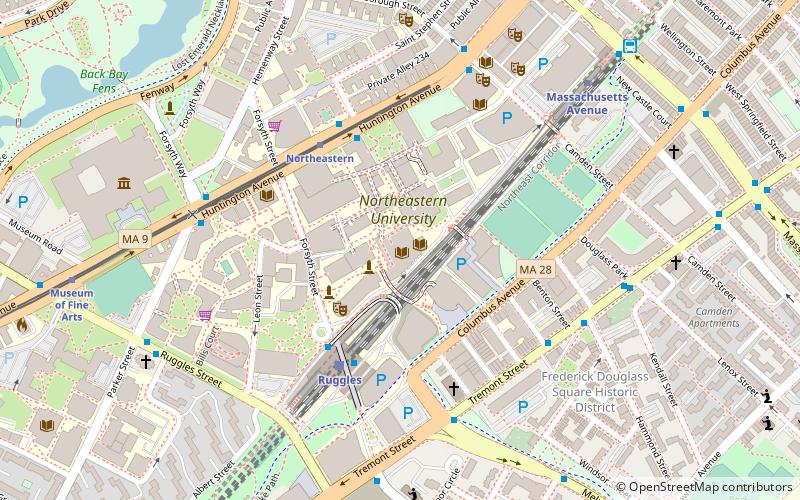
Map
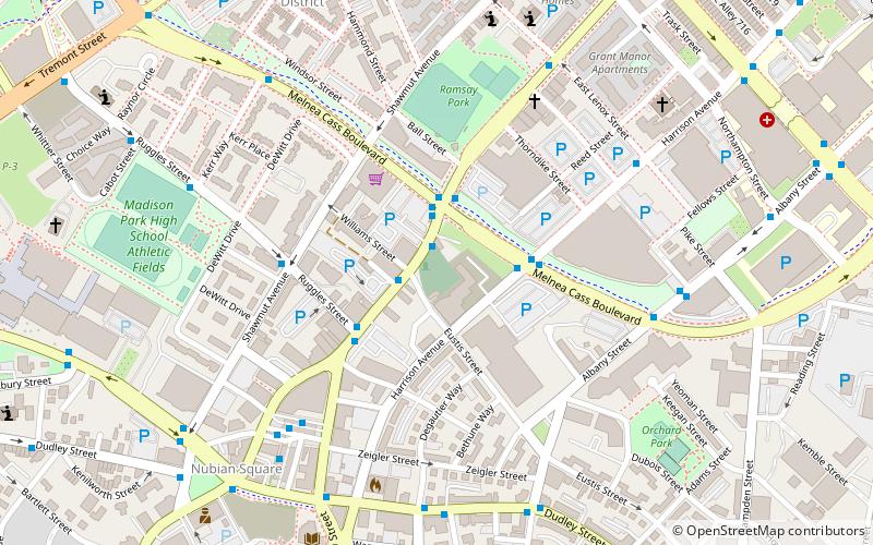
Map
Facts and practical information
Eliot Burying Ground is a historic seventeenth-century graveyard at Eustis and Washington Streets in the Roxbury neighborhood of Boston, Massachusetts. It occupies a roughly triangular lot of 0.8 acres. ()
Coordinates: 42°19'55"N, 71°4'52"W
Address
Roxbury (Lower Roxbury)Boston
ContactAdd
Social media
Add
Getting there by public transportation
Public transportation stops near this location
- Metro
- Bus
- Light rail
- Train
 Metro
Metro
- Calculate routeWashington St @ Williams St 2 min walk
- Calculate routeMelnea Cass Blvd @ Harrison Ave 3 min walk
- Calculate routeNubian Station - Platform D 6 min walk
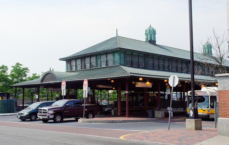
- Calculate routeRuggles 14 min walk
- Calculate routeNewmarket 22 min walk
- Calculate routeUphams Corner 28 min walk
- Calculate routeBoston Back Bay 29 min walk
- Calculate routeRuggles 14 min walk
- Calculate routeMassachusetts Avenue 17 min walk
- Calculate routeRoxbury Crossing 20 min walk
- Calculate routeBack Bay 29 min walk
- Calculate routeNortheastern 19 min walk
- Calculate routeSymphony 20 min walk
- Calculate routeMuseum of Fine Arts 21 min walk
- Calculate routePrudential 25 min walk
Maps MBTA Subway
MBTA SubwayDay trips


Frequently Asked Questions (FAQ)
Which popular attractions are close to Eliot Burying Ground?
Nearby attractions include Melnea Cass Boulevard, Boston (4 min walk), Ascension-Caproni Historic District, Boston (5 min walk), Dudley Station Historic District, Boston (6 min walk), Dearborn School, Boston (7 min walk).
How to get to Eliot Burying Ground by public transport?
The nearest stations to Eliot Burying Ground:
Bus
Train
Metro
Light rail
Bus
- Washington St @ Williams St • Lines: 1 (2 min walk)
- Melnea Cass Blvd @ Harrison Ave • Lines: 1 (3 min walk)
Train
- Ruggles (14 min walk)
- Newmarket (22 min walk)
Metro
- Ruggles • Lines: Orange (14 min walk)
- Massachusetts Avenue • Lines: Orange (17 min walk)
Light rail
- Northeastern • Lines: E (19 min walk)
- Symphony • Lines: E (20 min walk)