South Bend Cemetery, Atlanta
Map
Facts and practical information
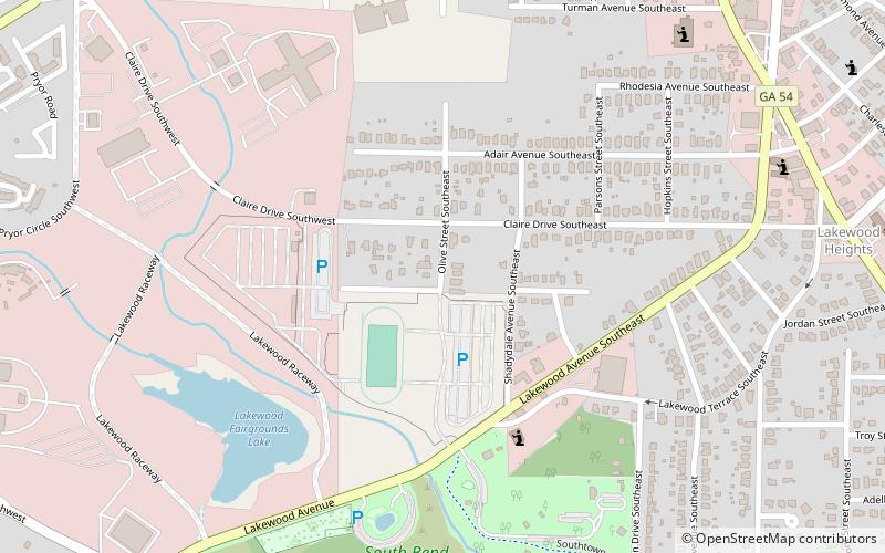
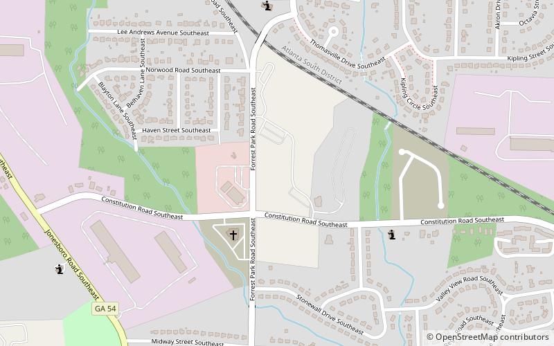
South Bend Cemetery is a cemetery in Atlanta, Georgia near the Federal Penitentiary. The cemetery dates to the 1800s and was maintained by the South Bend Methodist Church, which was located about 6 blocks southwest at 850 Mcwilliams Road. The church disbanded in the 1990s. By 2008 the cemetery was overgrown. A group of volunteers cleared the overgrowth during 2008–2011. ()
Coordinates: 33°41'39"N, 84°21'34"W
Address
Southside (Norwood Manor)Atlanta
ContactAdd
Social media
Add
Day trips
South Bend Cemetery – popular in the area (distance from the attraction)
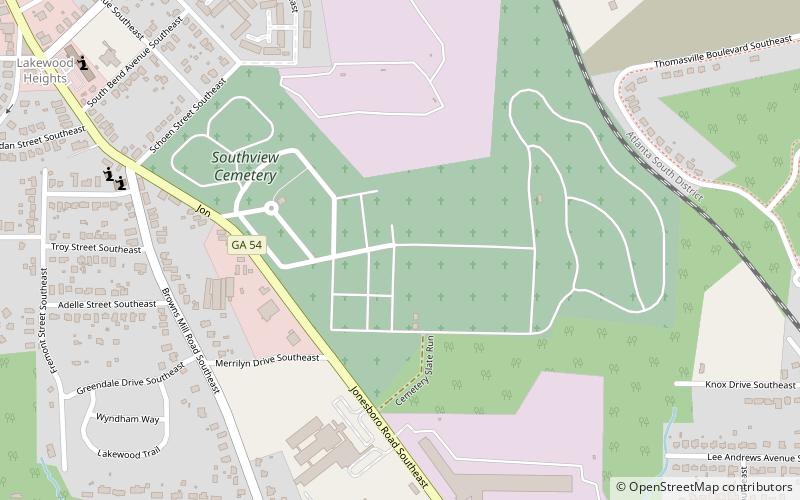
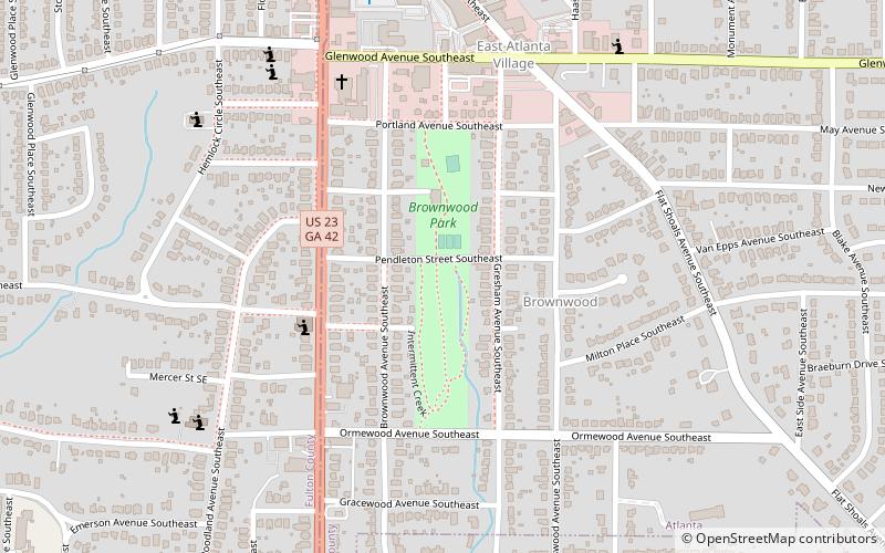
Nearby attractions include: Zoo Atlanta, Erskine Memorial Fountain, South-View Cemetery, Brownwood Park.
Frequently Asked Questions (FAQ)
Which popular attractions are close to South Bend Cemetery?
Nearby attractions include Thomasville Heights, Atlanta (13 min walk), South-View Cemetery, Atlanta (22 min walk).


